Sea ice in the Arctic is melting earlier in the spring and forming later in the fall, allowing ships more time to navigate ice-free waterways.
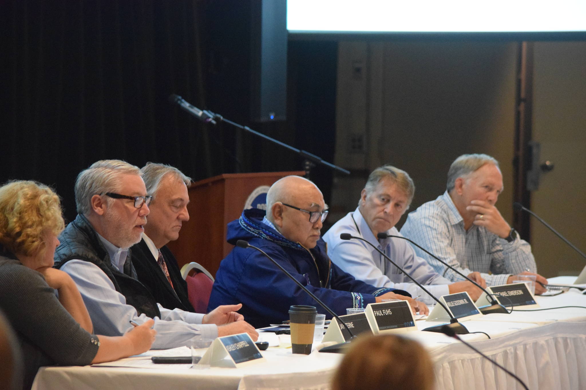
But the charts and communication meant to keep these vessels safe isn’t yet up to speed with an expected increase in vessel traffic, experts said Thursday at the Juneau meeting of the National Oceanic and Atmospheric Administration’s Hydrographic Services Review Panel.
The panel advises NOAA on how best maintain and update the navigation tools that keep mariners safe. It met for three days of meetings at the Elizabeth Peratrovich Hall on Tuesday, Wednesday and Thursday.
Shipping companies, cruise lines and recreational vessels are taking advantage of the Arctic’s increased ice-free season. Shipping volume in the Arctic increased by 50 percent last year, according to media reports. On Saturday, a container ship sailing for shipping giant Maersk is expected to enter the Bering Strait on the first voyage through the Northern Sea Route for a container ship. Recreational sailors are testing the waters. So are cruise lines.
The United States’ only Arctic state needs to bolster its marine infrastructure in the north, an expert panel said. It’s currently not up to snuff, largely because it hasn’t had to be, said Ashley Chappell, Arctic lead for NOAA’s Committee on the Marine Transportation System. But that’s about to change.
Chappell moderated the talk, which included experts from several federal and private agencies who work on Arctic marine infrastructure issues.
NOAA has mapped only 4.1 percent of the U.S. marine Arctic waterways to modern standards.
“We know what to do, we just don’t have the capacity to do it,” Chappell told the Empire after moderating the panel. “We know how to survey in the Arctic. We know how to set our tide gauges. We know how to do these things. It’s not like we’ll have to create new technologies, it’s just having the capacity to do the things we need to do. It’s just having the money, the resources.”
Current charts are based largely off data acquired in the 1800s using early lead line technology. That technology was accurate — in spots. But when sea depths were measured far from shore, those surveys could only roughly pinpoint their locations. It was also laborious, meaning the ocean floor could only be mapped few locations compared to modern technology.
The result is that vessels transiting the Northwest Passage, the route that runs across Arctic Alaska and Canada, depend on undependable charts.
Thankfully, they have some time to work on their charts, said Captain Ed Page of the Marine Exchange of Alaska. He said it’s not exactly a “gold rush” to use the U.S.’s Arctic passageways. He said the attention paid to this week’s meetings show NOAA and its private sector partners like the Marine Exchange, which tracks vessel traffic across Alaska, are ahead of the curve.
“I’m pleased to see that. We’re not waiting for the train wreck, but we’re jumping ahead of it,” Page said.
One of the biggest issues facing Alaska will be protecting subsistence food resources from an increase in traffic. When Alaska Native communities go out to hunt whale in Arctic regions, they want to know that the populations they’re looking for remain undisturbed.
Technology is currently being tested to automatically let shipping companies know when they’re approaching Native whalers, Page said.
It’s going to take a while — and quite a bit of money — to address charting and traffic in the Arctic, Page said, but he’s confident the HSRP is on the right track.
“We’re not going to go from 4 percent to 100 percent in two or three years, there’s no way. It took us this long to get to 4 percent,” Page said.
• Contact reporter Kevin Gullufsen at 523-2228 and kgullufsen@juneauempire.com. Follow him on Twitter at @KevinGullufsen.

