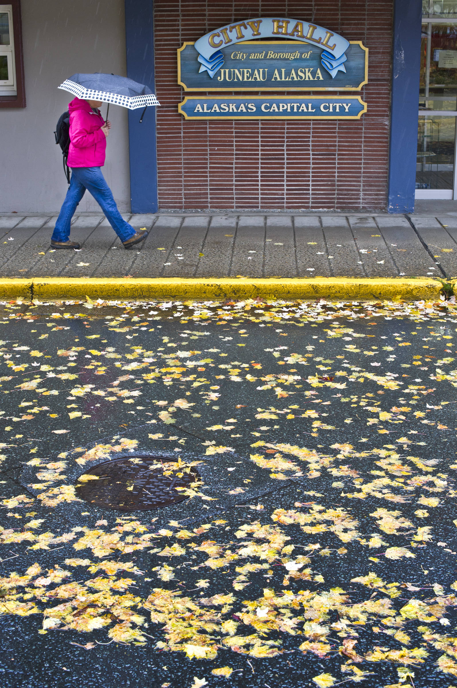
For parched Southeast Alaska, October’s rainfall brought some needed relief.
According to figures from the National Weather Service office here, 10.42 inches of rain were recorded at Juneau International Airport last month. The airport is the city’s official measuring point and has kept records since 1936.
This October was only the 19th wettest on record at the airport, but it was 1.79 inches above normal and a significant change from the rest of the year. Juneau and the rest of Southeast Alaska have been exceptionally dry this year, even experiencing drought conditions at times.
In southern Southeast, particularly Ketchikan, Prince of Wales Island and Metlakatla, the drought has been severe enough to restrict hydropower production and cause some minor fish die-offs.
Even with the help that October brought, Southeast remains drier than normal for the year. Between Jan. 1 and Monday morning, Juneau has seen 44.92 inches of precipitation (rain and melted snow), 6.38 inches below normal.
While Juneau benefitted from a wet October, Ketchikan received only 62 percent of its normal rainfall in October and is 29 inches below normal for the year.
“Still, the situation over the southern Panhandle is somewhat better than it was in September,” the Weather Service wrote in its monthly update, before concluding, “However, portions of the southern Panhandle remain in a severe drought and significant impacts to communities located there persist.”
October finished as the fourth-warmest in Juneau’s recorded history, averaging 45.5 degrees. The warmest, 46.6 degrees, was in 1942, but that record is missing two days. If years without complete data are ignored, this October was the third-warmest.
The warmest day ever recorded in October came on Oct. 1 this year, when the thermometer read 63 at the airport.
Elsewhere in Southeast, Yakutat had its warmest October ever, averaging 46.5 degrees. (The old record was 45.9, set in 1980.) Sitka matched its warmest October, averaging 50.6 degrees. Skagway had its third-warmest October.
The National Climate Prediction Center expects a good chance for warm and wet conditions to continue through November. In its November preview, it projected a 60 percent chance of above-normal temperatures and a greater-than-normal chance of above-normal precipitation.
The winter’s first snowfall arrived Nov. 1, and 3.2 inches have been recorded through Monday morning at the airport.
Conditions are expected to be clear and cold through Wednesday night, when a rain-snow mix returns to the Juneau area. The coldest temperatures of the winter will arrive Tuesday night, when clear skies will allow temperatures to dip into the teens in the Mendenhall Valley and the low 20s downtown.
• Contact reporter James Brooks at jbrooks@juneauempire.com or 523-2258.

