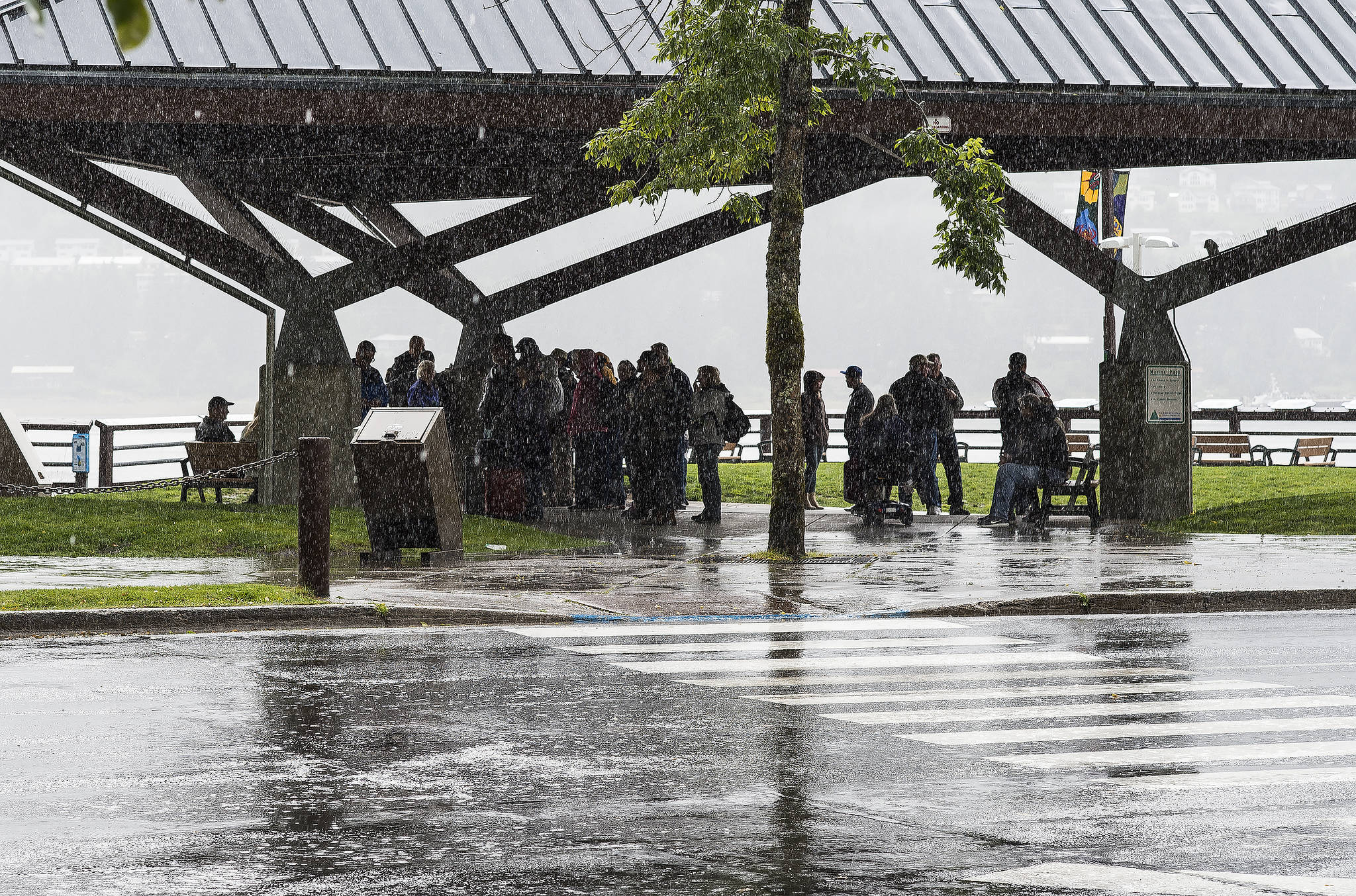
Après soleil, le déluge.
According to the National Weather Service, July’s sunshine is giving way to a potentially record-breaking deluge and a flood watch for Juneau and Skagway.
[July 2018 is warmest month ever in Juneau]
Through Thursday, forecasters are predicting as much as six inches of rain will fall on Juneau, with the heaviest amounts coming Wednesday into Thursday. The rain comes courtesy of an atmospheric river channeling moisture from the central Pacific Ocean.
On Tuesday afternoon, the weather service issued a flood watch for the Mendenhall and Tayia rivers. Flooding is expected to be minor but still noticeable. Peak waters are expected Wednesday night, and the flood watch extends through Thursday night.
This week’s rainfall is not likely to approach Juneau’s all-time single-day record (4.62 inches of rain on Oct. 10, 1946) but it will mark a remarkable shift. This week is likely to see more rain than all of July.
Last month at Juneau International Airport, the city’s official measuring point, weather service instruments recorded 2.78 inches of rain, well below normal.
On Tuesday, the airport had already seen a third of an inch of rain by 10 a.m., with more expected. That was already enough to rank among the top 10 wettest days for that date. (Final measurements for the day are not available until after midnight.)
Tuesday’s record (unless topped in the final measurement) is 1.45 inches, set in 2002. Wednesday’s is 1.21 inches, set in 2012, and Thursday’s record is 0.99 inches, set in 2014.
August is typically wetter than July but much drier than September and October, which are the rainiest months in Southeast Alaska. In Juneau, each of those months averages more than 8.6 inches of rain (and melted snow).
• Contact reporter James Brooks at jbrooks@juneauempire.com or 523-2258.

