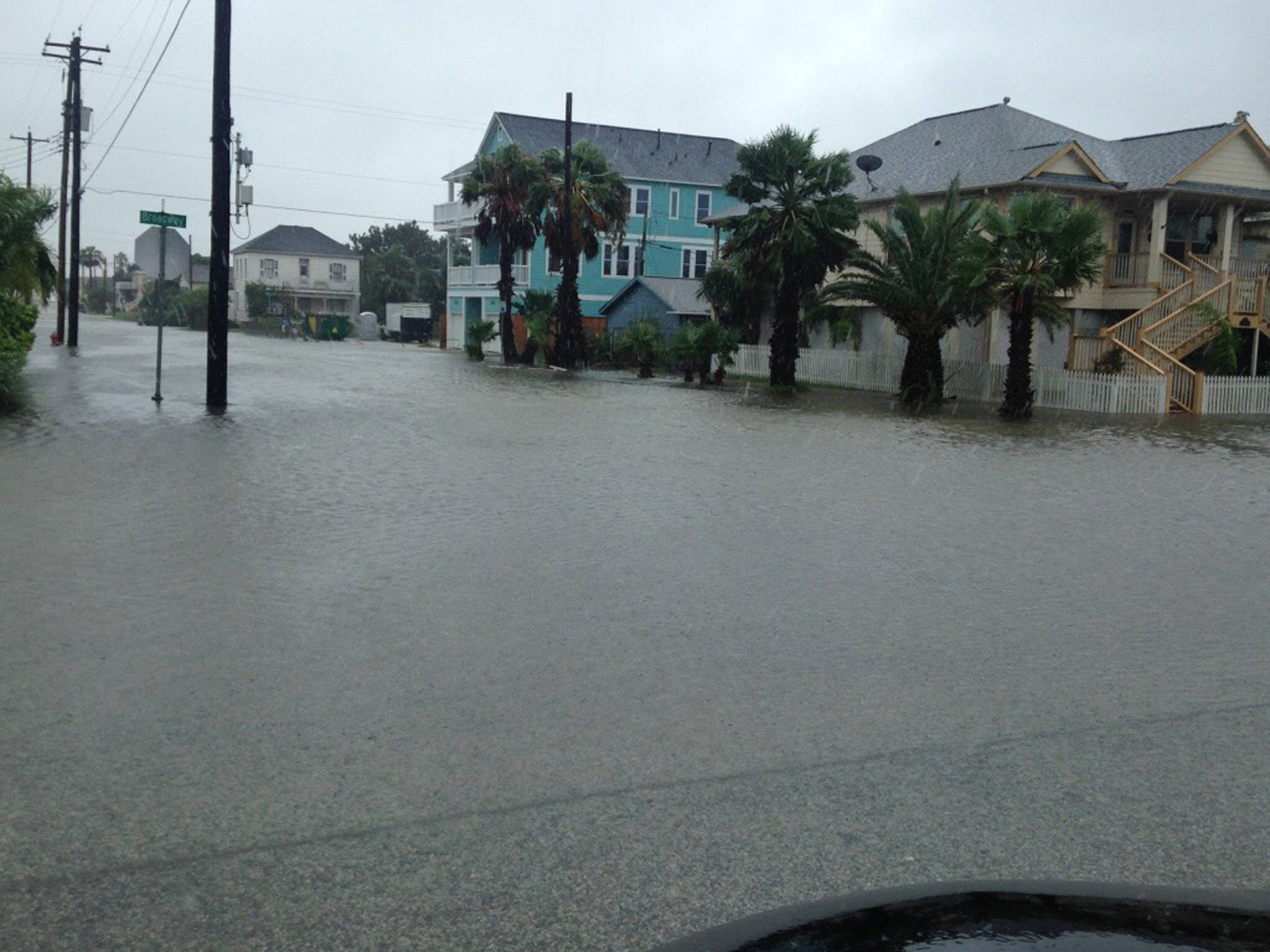
Speaking at a conference in coastal Texas last fall, a researcher from Florida mentioned with relief that her home was 13 feet above sea level. That seemed curious to me, a middle Alaskan living at 500 feet, but then she mentioned the millions of other Floridians whose homes sit less than 10 feet above sea level, and were more vulnerable to storm surge.
Since that October conference in Galveston, on a barrier island southeast of Houston, Hurricane Harvey dumped more than three feet of rain in the area. A week later, Hurricane Irma battered south Florida. Now another hurricane, Maria, has made landfall in Puerto Rico as the fifth-strongest hurricane to ever strike the U.S.
These events may hint at the interconnectedness of the world. Hurricanes don’t happen in Alaska because those storms are tropical by nature, but typhoons (another word for hurricanes) sometimes track north into the Bering Sea, becoming superstorms that hit the west coast of Alaska. Typhoon Nuri powered northward in 2014 and set a new low-pressure record, breaking one recorded at Dutch Harbor during a 1977 storm.
“Storms that affect Alaska are far, far bigger than hurricanes,” meteorologist and climatologist Rick Thoman once said. “Hurricanes are tiny compared to great storms that take up a quarter of the Bering Sea.”
Those giant Alaska storms are similar to hurricanes in that they pile up water that floods coastal villages. They also spin counterclockwise, though they are not wound as tight as hurricanes. Bering Sea storms can feature strong winds in Bethel and Nome at the same time. The towns are 300 miles apart.
The frequency and power of the hurricanes far away also makes some wonder if the shrinking raft of northern sea ice is “setting up bizarre weather patterns that are happening more often.”
Jennifer Francis of Rutgers University Department of Marine and Coastal Sciences said that last December, at the fall meeting of the American Geophysical Union in San Francisco. There, she gave a presentation in which she related a warming Arctic to extreme weather events at mid-latitudes.
Not all scientists agree with Francis, who thinks that retreat of northern sea ice — now nearing its fall minimum of Arctic Ocean coverage, the eighth lowest in the 38th year of the satellite record — has led to less of a temperature contrast between the far north and places like Florida.
That lack of temperature difference may be slowing jet streams, ribbons of fast flowing air that help to steer weather systems. A few weeks ago, Hurricane Harvey stalled, dropping almost 50 inches of rain on Beaumont, Texas, as the storm tracked over the same area for several days.
Francis and other scientists are not saying the heat-absorbing open water that surrounds northern Alaska today was the direct reason Houston and its suburbs were underwater. But it may be part of the equation.
“What you can say is we do expect to see these kinds of bizarre behaviors happen more often in the future,” Francis recently told Washington Post reporter Chelsea Harvey. “Whether it’s a very slow-moving storm like Harvey, or a westward-going track like (2012’s Hurricane) Sandy.”
• Since the late 1970s, the University of Alaska Fairbanks’ Geophysical Institute has provided this column free in cooperation with the UAF research community. Ned Rozell is a science writer for the Geophysical Institute.

