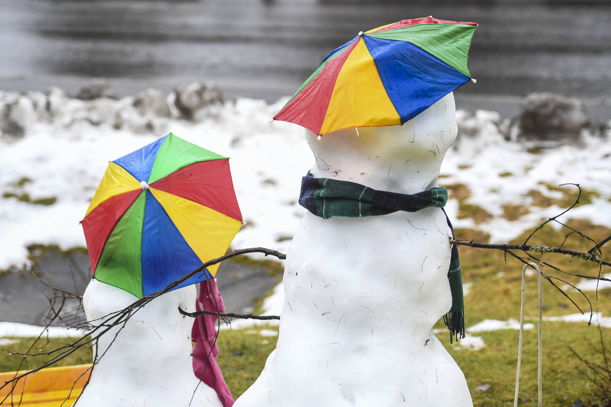
2019 is set to be Alaska’s warmest year on record, part of a warming trend that’s set to continue.
“Over the long term, temperatures have nowhere to go but up,” Rick Thoman, Alaska Climate Specialist at the International Arctic Research Center, said in a phone interview.
Thoman said human activity is causing the world’s oceans to become warmer, which is in turn raising the temperature of storms coming out of the Arctic. Warmer waters means less sea ice, and less sea ice means warmer air in the atmosphere, Thoman said.
“Think of the water in the Chukchi Sea (the sea between Alaska and Russia, north of the Bering Strait) in October, that’s basically a heating pad,” Thoman said. “We’ve got this heating pad sitting there, and it’s adding heat to the polar atmosphere.”
That’s going to mean warmer storms in the long-term, according to Thoman. Individual storms can vary in terms of their temperature but the average temperature overall is trending warmer.
Alaska’s coldest year on record was 1956, with a yearly average of 21 degrees. According to the University of Alaska Fairbanks Alaska Center for Climate Assessment and Policy the Juneau region has warmed an average of 4.1 degrees in the winter season since 1970. Northern regions of the state have warmed even more during winter, with the North Slope region warming a total of 9 degrees.
This year won’t be Juneau’s warmest on record, but it’s still in the top three.
Juneau’s warmest year on record is 2015, according to David Levin, a meteorologist with the National Weather Service in Juneau. 2016 is second and unless the temperature plummets before Jan. 1, 2019 will be third, Levin said.
Six of Juneau’s top 10 warmest years on record have occurred since 2000, Levin said. While 2019 may not set the record for warmest year on record, it looks like it’s going to set the record for lowest snowfall at sea level. Since Oct. 1, the Juneau International Airport has only gotten 5.4 inches of snow.
“That currently ranks lowest of all time for that time period,” Levin said. “If we don’t get any snow at the airport between now and New Year’s, it’ll be the lowest start to the year in terms of snowfall.”
According to the Weather Service data, since Jan. 1 through Sunday, Juneau has received 58.6 inches of rain. That’s up from 2018 but still three inches lower than normal. The U.S. Drought Monitor lists most of the Alaska panhandle as being in drought conditions, with Juneau being in moderate drought and the rest of Southeast abnormally dry.
Lower water levels can mean higher electric bills for Juneauites. Drought conditions can cause problems for Alaska Electric Light & Power and how much power they can produce at their dams. With less water, AEL&P can’t provide power to interruptable customers like Greens Creek Mine and Princess Cruises whose payments help offset regular customer’s bills.
Thoman said the Earth’s warming oceans was entirely due to human activity.
“There’s positive evidence the warming period we’re going through now is not part of the natural period,” Thoman said in reference to the claim that the global rise in temperatures is part of a natural cycle. “The earth’s climate has of course changed over time. The current changes are definitely not part of any natural cycle.”
• Contact reporter Peter Segall at 523-2228 or psegall@juneauempire.com.

