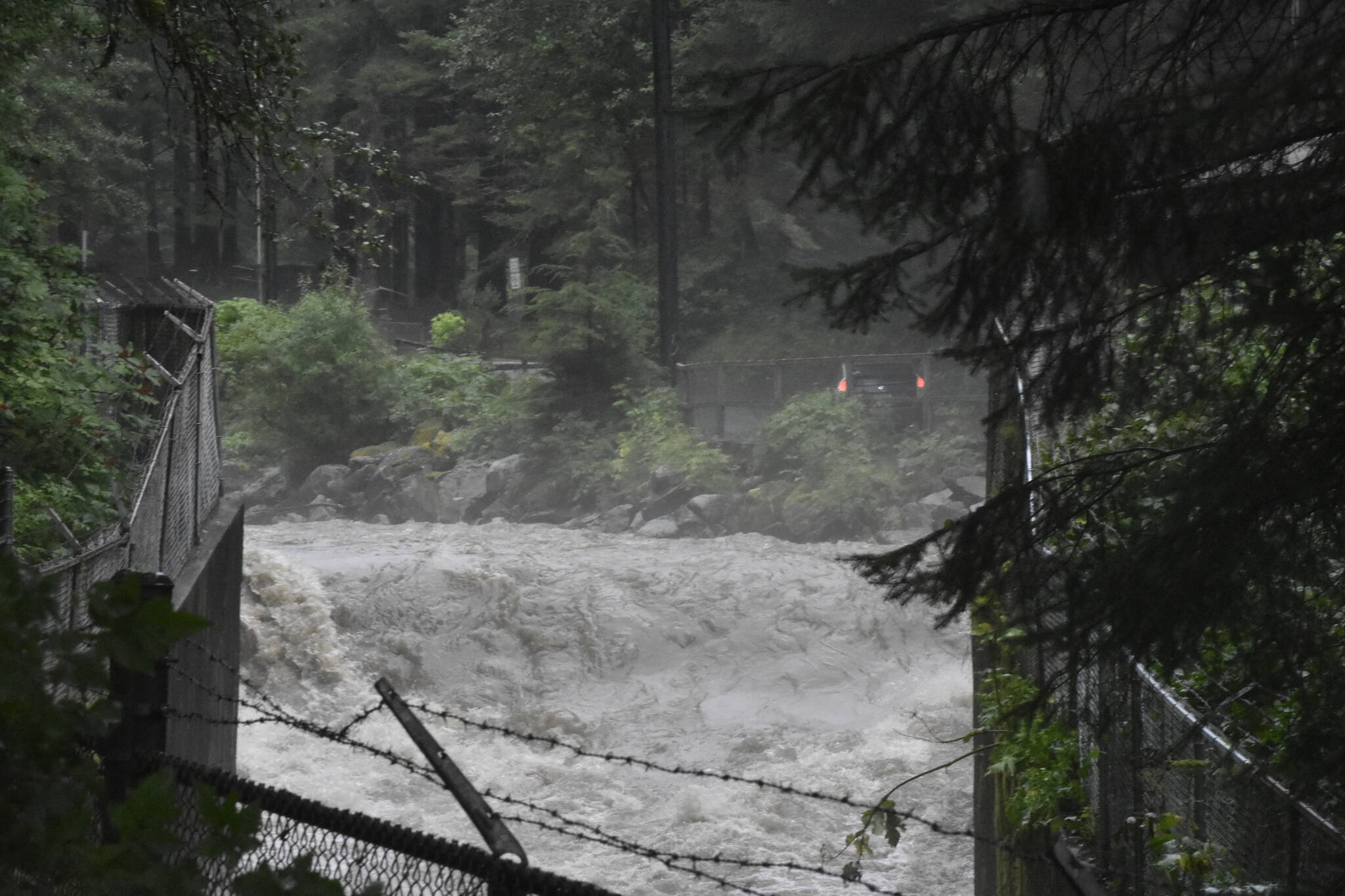
Grab a raincoat and secure any lawn furniture or items in the yard, a fall storm is heading for Juneau.
According to Nicole Ferrin, senior meteorologist with the National Weather Service in the Juneau office, residents can expect a wet and windy ride, thanks to a low-pressure system in the Gulf of Alaska. Temperatures are likely to remain in the mid-40s, so snow isn’t part of the forecast.
She said that Thursday night, the beginning of the frontal system, will move in with the heaviest rain likely arriving Friday night and into early Saturday morning.
She said a “drastic improvement” is possible by mid-morning on Saturday.
“All day Friday, we could have periods of heavy rain and strong winds,” she said.
[City extends COVID mitigation measures, restores fines for violations]
Forecasters expect the strongest winds late Friday night.
A high wind watch and a flood watch take effect Friday at 4 p.m.
The flood watch reflects expected rises in smaller creeks like Jordan Creek and Montana Creek.
Ferrin said wind gusts could reach 60 to 70 miles an hour Friday night, and the wind is likely to reach all corners of the borough.
“The places in Juneau that aren’t usually windy will be this time,” she said, noting that high winds are likely in the back of Mendenhall Valley, a location that doesn’t typically experience heavy winds.
In addition, winds on Stephens Passage could reach storm force, which typically only happens a few times a year.
Ferrin said to expect between 3 and 6 inches of rain over the two days and that the rain would likely be a long duration of moderate to heavy rain.
[CBJ surveys residents about tourism]
Docks and Harbor ask for help
On Thursday, the City and Borough of Juneau issued a statement reminding boat owners to check their vessels.
“Please make sure your mooring lines are secure, pumps are operating correctly and your boat is not accumulating rainwater,” the release said.
• Contact reporter Dana Zigmund at dana.zigmund@juneauempire.com or 907-308-4891.

