This article has been moved in front of the Empire’s paywall because it contains information that may be helpful amid severe weather.
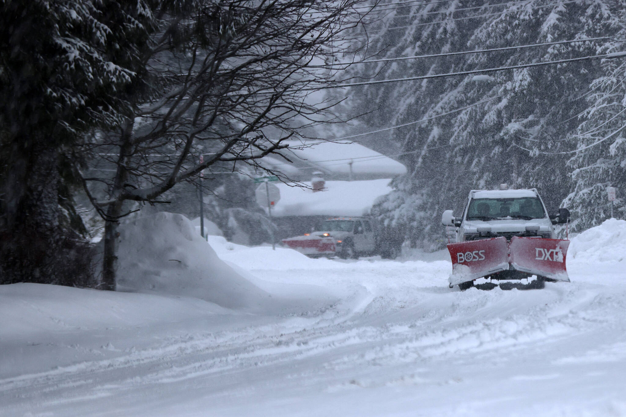
A winter storm system brought large guts of winds and heavy snow throughout Wednesday, causing closures and heightened avalanche risk to the capital city.
The flurry of closures across Juneau included the Juneau School District, which issued an early release time for students, the City and Borough of Juneau which closed its offices and facilities and suspended its bus services on Cordova Street, Franklin and Fourth streets downtown and the University of Southeast Alaska, which closed its campus in the early afternoon. A pair of cross-town basketball games scheduled for Wednesday were postponed to Thursday, too. The Juneau Police Department reported multiple motor vehicle collisions and stuck vehicles.
On Wednesday afternoon, National Weather Service Juneau issued a blizzard warning and cited citizen reports from around the city that the visibility was less than a quarter mile and wind gusts were reaching as high as 50 mph.
According to Grant Smith, a meteorologist at the NWS Juneau, the Juneau office doesn’t issue blizzard warnings very often. Since 2013, only 14 have been issued. He said the storm Wednesday is considered to be a “one-off big front” and said he expects the remainder of the week’s snowfall and wind to calm down significantly.
“We do get blizzards here, and we issue blizzard warnings but not very often,” he said. “Yes, we are having this big front, but going forward we’re going into a pattern switch of more of a dry and clear sky pattern by the weekend.”
Smith said Thursday will be “much lighter” and residents can still expect 1-2 inches of snow to fall and not nearly as many heavy wind gusts as well.
“Overall, we’re expecting the heavy snow and strong winds to last through the rest of Wednesday, and then going into Thursday the front would have cleared and the winds will have really died down,” he said.
Early reports of Wednesday’s snowfall cited totals of 5-10 inches varying across Juneau as of mid-afternoon.
Smith said snowfall this year was already 10 inches above average before the start of the Wednesday blizzard. He said the accumulation Wednesday had already broken the record of 6.1 inches early in the day, and he expects the remainder of Wednesday and Thursday’s accumulation to add a sizable amount to the yearly total.
Juneau Emergency Programs Manager Tom Mattice said Wednesday afternoon that the avalanche advisory risk was high, and bordered extreme. If the avalanche risk reaches extreme levels, that’s when evacuation starts, he said, but noted he wasn’t certain Juneau would reach that level.
Mattice said in the 14 years he’s been in his position, there was only one instance where an extreme advisory was issued.
“We’re close, I’m not sure we’re at the level yet, but it doesn’t mean avalanches can’t happen,” he said. “Avalanches are occurring — I’m sure of that — and I’m sure large in size, but the only question is how large and whether or not they’re notable.”
Mattice emphasized that regardless if the risk is high or severe, he urges people to reduce the amount of time they are in hazardous zones if at all possible.
“If you spend less time there, that’s a good thing — we want to minimize time spent in avalanche zones — the danger can become extreme.,” he said. “This is an unusual storm and avalanches are occurring. When it comes to spending time in avalanche terrain, people should avoid spending time in avalanche terrain and do everything they can to recognize this is a dangerous storm.”
• Contact reporter Clarise Larson at clarise.larson@juneauempire.com or (651)-528-1807. Follow her on Twitter at @clariselarson.

