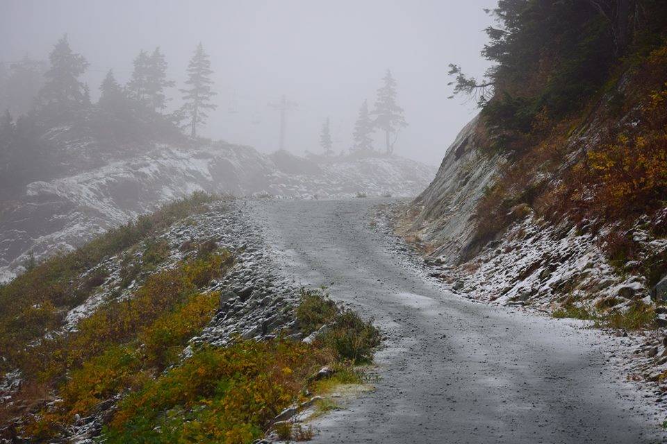
Termination dust — the powdery snowfall that indicates the end of summer — can now be seen on mountaintops around Juneau, signaling the slow crawl toward winter.
There’s no snowfall yet in the forecast for lower elevations, National Weather Service forecasters say, and early indications are this winter will be about average for temperature and precipitation, if not a bit warm and wet. But Eaglecrest Ski Area has already received its first snowfall of the season, employees say.
The first flakes fell overnight from Thursday to Friday, said Charlie Herrington, who runs the ski area’s newsletter.
Shortly after arriving at work Friday, Herrington and another employee drove about halfway up the runs served by Black Bear Chairlift before about two inches of snow forced them to turn around, he told the Empire. Herrington estimated that three inches fell at the highest elevations of the ski area.
The National Weather Service hasn’t yet recorded any snowfall at Eaglecrest’s base or at any of their weather stations in the Juneau area, forecaster Edward Liske told the Empire on Saturday. The average first measurable snowfall at the bottom of the ski area comes on Nov. 1, Liske said. At weather stations around Juneau, those dates vary from Nov. 1 to Nov. 9.
The outlook for December, January and February is leaning toward an El Niño year, Liske said, meaning there’s a higher chance of a warmer and wetter than normal winter.
But climate indications are mostly neutral and El Niño effects aren’t predicted to be strong this year, Liske added, at least not at this point.
Eaglecrest Ski Area’s opening day is scheduled for Dec. 1. Employees are making fast progress on an extension of water lines for their snowmaking system, Herrington said, which could help keep the ski area open for more days in a low-snow year.
Season pass prices go up on Oct. 14 at midnight, and the ski swap is scheduled for Saturday, Nov. 3 at Centennial Hall.
By the Numbers:
Average date and earliest and latest first measurable snowfall around Juneau:
(Data from the National Weather Service based on varying data histories)
Auke Bay
Average first snowfall: Nov. 5
Earliest: Sept. 30 (1974)
Latest: Dec. 14 (2002)
Airport
Average first snowfall: Nov. 4
Earliest: Oct. 2 (2000)
Latest: Dec. 14 (2002)
Back Loop
Average first snowfall: Nov. 1
Earliest: Sept. 26 (1908)
Latest: Dec. 16 (1992)
Downtown
Average first snowfall: Nov. 9
Earliest: Sept. 30 (1974)
Latest: Dec. 16 (1992)
Lena Point
Average first snowfall: Nov. 9
Earliest: Oct. 16 (2016)
Latest: Dec. 14 (2002)

