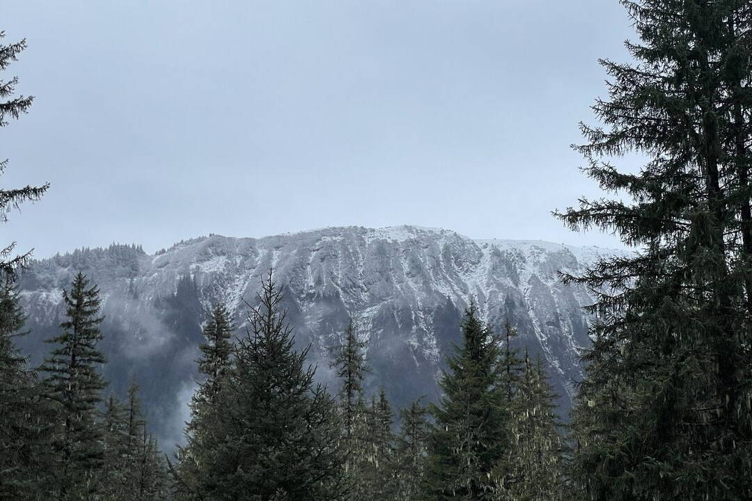
If you think Juneau is having a warmer fall than average, you’re right – significantly warmer, especially for November, according to the National Weather Service Juneau.
November has been 4.9 degrees warmer than average for Juneau, said meteorologist Greg Spann, noting the month hasn’t closed and the numbers could shift. But the trend is real: Juneau was 0.8 degrees warmer in September and 1.3 degrees warmer in October.
Precipitation for Juneau is also up over that time period. For November, as of Sunday, there had been 7.64 inches of liquid — the combination of snow and rain — at Juneau International Airport, where measurements are kept. Spann said the normal volume is 5.66 inches, an increase of 1.98 inches.
October precipitation was a less dramatic increase of 0.68 inches, or 9.1 inches compared to the average of 8.42 inches. September takes the prize for the biggest difference, with 13.64 inches of liquid compared to 8.66 inches, 4.98 inches more than is typical.
The culprit for the temperature changes is El Niño, but not the rainfall, Spann said. “In this region, El Niño doesn’t have as strong an impact when it comes to precipitation.”
Temperatures are “well above average for all of Southeast,” Spann said. Ketchikan matched Juneau in September with 0.8 degrees above average, while it was 1.8 degrees warmer in October. Sitka was 2 degrees warmer in September and 3.1 degrees warmer in October. Preliminary numbers for those places in November were not available.
El Niño is an established weather system characterized by warmer surface waters in the tropical Pacific, centered around the equator. The warming temperature of the water and air shifts the position of the jet stream, playing an outsized role in weather anomalies around the globe.
Temperatures are likely to remain elevated through the winter. “Not a guarantee, but it does help stack the odds in your favor if you’re a fan of not-so-cold weather,” said Spann.
It’s the first time since the 2018-2019 winter that an El Niño pattern has returned, according to the NWS website.
The phenomenon was identified by fishermen in South America in the 1600s, who also got naming rights for El Niño — “Little Boy” in Spanish. They noticed periods of unusually warm water in the Pacific Ocean.
The general warming trends around the globe are much newer.
Temperatures in Alaska have increased by about 3 degrees since 1925, outpacing the rest of the contiguous United States, which has risen 1.8 degrees over the same time period, according to NC State University’s North Carolina Institute for Climate Studies.
The year 1925 serves as a benchmark because it marks the beginning of reliable records.
• Contact Meredith Jordan at meredith.jordan@juneauempire.com or (907) 615-3190.

