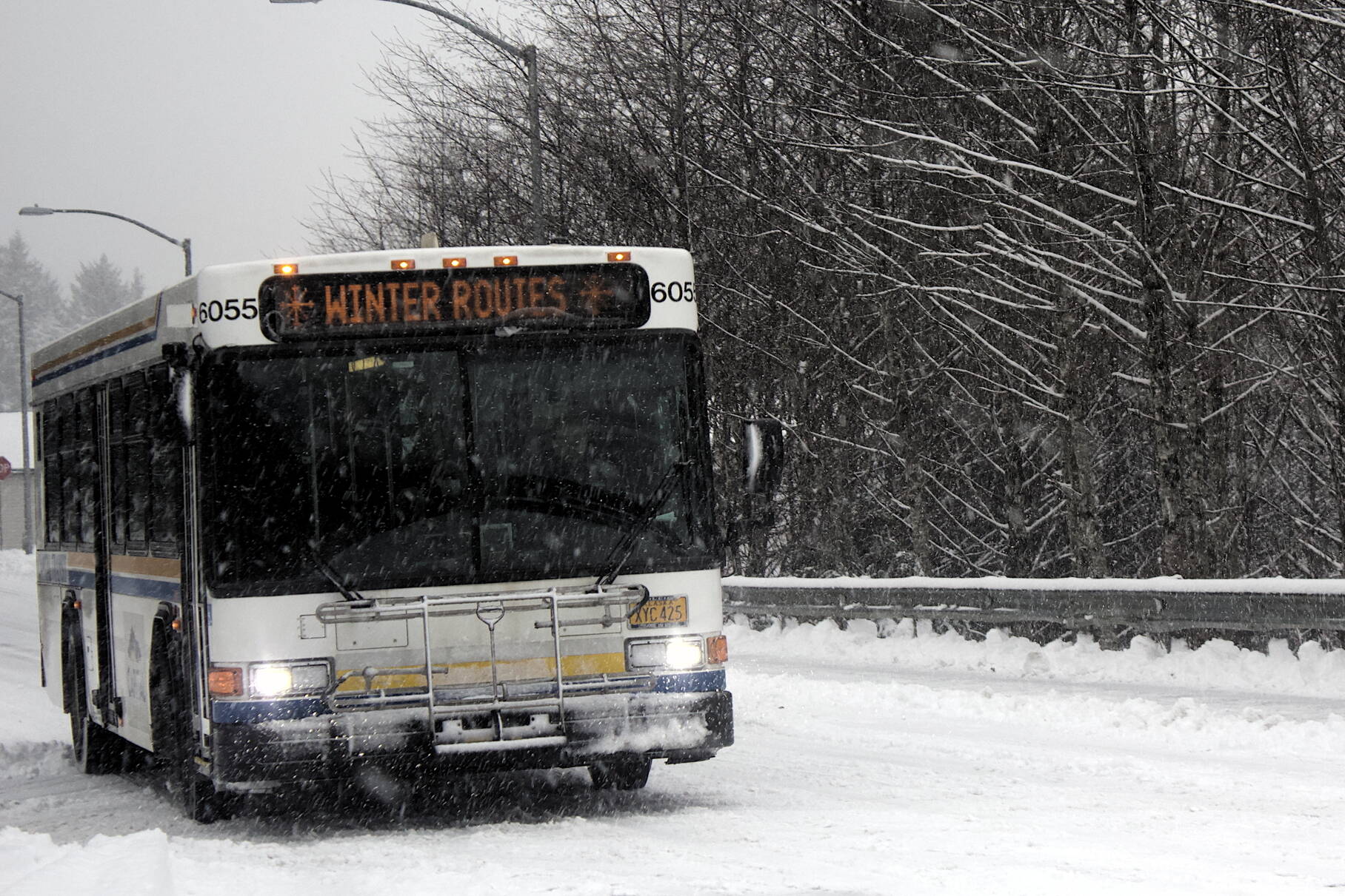
The first significant snow of the season snarled Juneau’s streets Thursday morning as initially dusty snowfall turned into denser accumulations due to rising temperatures, according to city and weather officials.
Hazardous conditions are likely to remain for the next few days with a possibility of mixed rain and snow Thursday evening, then more snow intermittently through the weekend.
“Road conditions from our perspective is the temperature changed rapidly this morning, and it went from a dry fluffy snow to heavy accumulating snow conditions quickly and turned icy,” said Greg Smith, superintendent for the city’s Streets & Fleet Maintenance Division.
Capital Transit implemented winter route changes in effect until midnight Thursday. The changes mean there is no service on Cordova Street in Douglas, and on Franklin and Fourth streets downtown.
About five to seven inches of snow were forecast for Juneau by midday Thursday, with about five inches reported in the Mendenhall Valley by about 10 a.m., said Brian Bezenek, lead meteorologist for the National Weather Service in Juneau.
“We’re expecting a little bit more out of it,” he said at about 11:30 a.m. “We’ll probably end up with some showers later – we’ll probably do a little mix – but then I think it will go back to snow this evening.”
There will be a brief clear period Friday before another front arrives late Friday, Bezenek said.
“We’re thinking a mix of rain and snow near sea level,” he said. “At higher elevations there will definitely be snow and probably a few inches.”
Precipitation will likely linger until early next week, after which a dry period is expected that may continue through next weekend, Bezenek said.
• Contact Mark Sabbatini at mark.sabbatini@juneauempire.com

