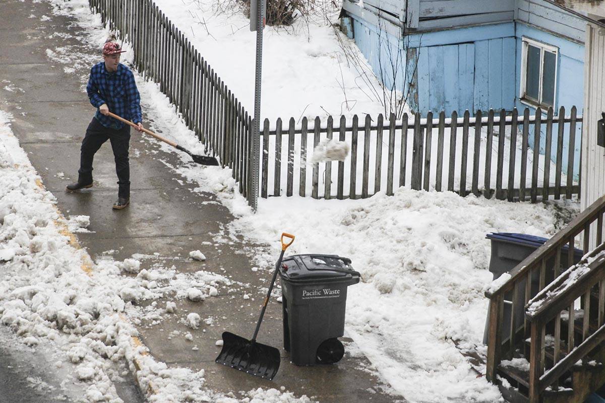
A streak of bitter cold will end with a squish this week as rising temperatures hover around the mid to upper 30s.
“We were in a cold outflow event. As you’ve probably noticed, that outflow event has come to an end,” said Greg Spann, a meteorologist with the National Weather Service in Juneau. “We’re back to an active winter pattern.”
Rising temperatures have resulted in slushy conditions and a mix of snow and rain across Juneau, Spann said.
“Depending on your location, you’re getting rain, snow, or slush,” Spann said. “Tomorrow is going to be just a little bit warmer for large parts of Juneau.”
The weekend should bring some relief from rising temps, Spann said, with temperatures cooling down. There isn’t a large likelihood of the return of the bitter cold and clear associated with the Arctic outflow event within the next week or so, Spann said, but beyond that week, predictions become largely guesswork.
The month is on track to receive a normal amount of snowfall, said David Levin, another meteorologist for the NWS in Juneau.
“Normally in January we receive 18.4 inches,” Levin said in a phone interview.
Juneau has received roughly 12 inches so far, thought warm weather may disrupt the snowfall slightly, Levin said.
“Even with the rain coming, the travel might not improve that much,” Levin said. “We’re not expected a tremendous warm up. It looks like a typical Juneau winter pattern.”
The most snow fell on Jan. 7, with the airport receiving 3.4 inches, the NWS office in the Mendenhall Valley receiving 4.7 inches, and the water treatment plant receiving 7.2 inches.
• Contact reporter Michael S. Lockett at 757-621-1197 or mlockett@juneauempire.com.

