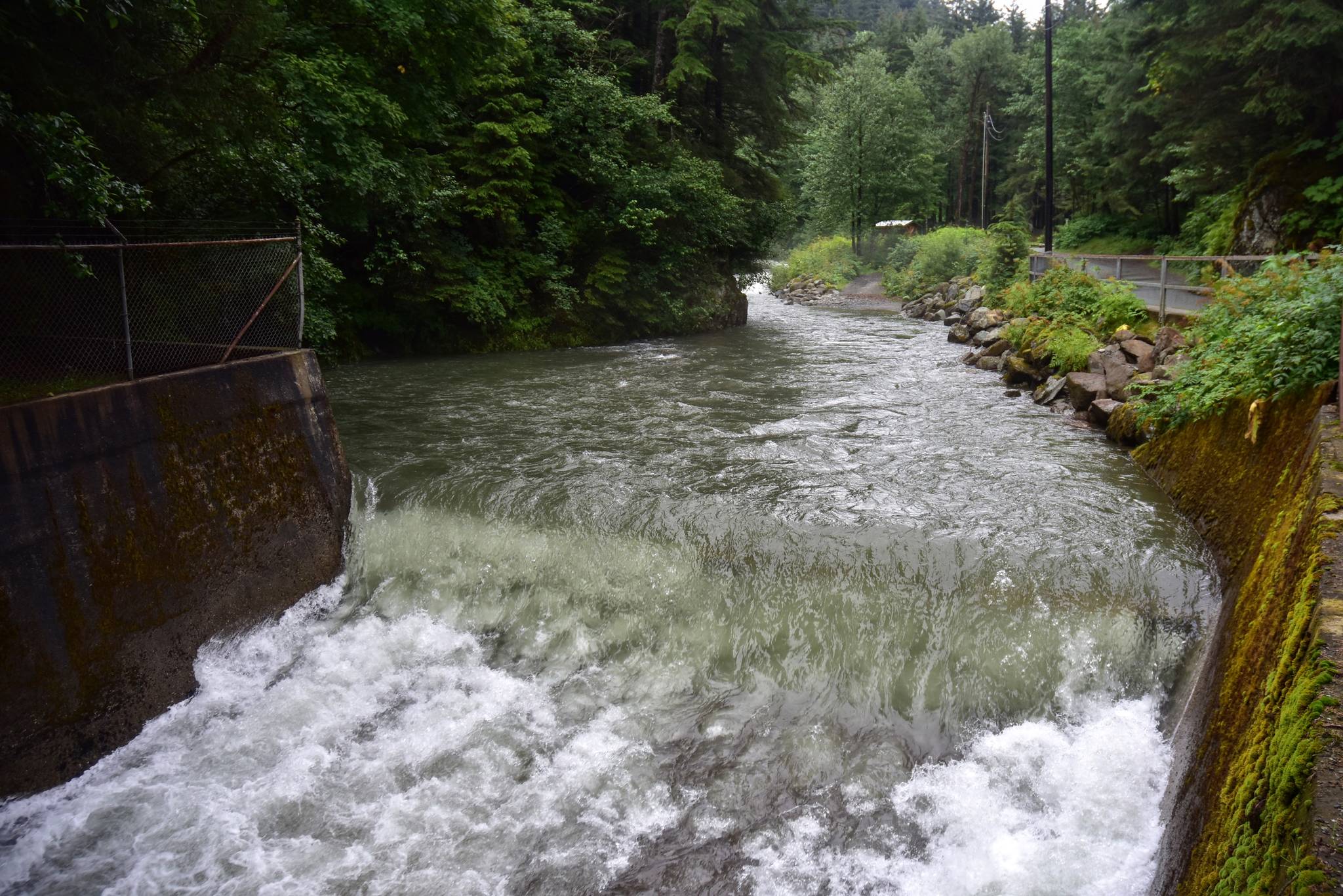
A lot of water came down on the Alaska panhandle over the weekend, with some areas of Southeast getting up to 3 inches of rain, according to the National Weather Service.
“To say today has been wet would be an understatement for most places across the panhandle,” the NWS’ forecast discussion for Southeast said on Sunday. “(Twenty-four-hour) rain amounts have been impressive. Most places have received between one to 2.5 inches of rain with terrain influenced areas reporting nearly three inches.”
NWS Juneau Meteorologist Cody Moore said in a phone interview that a terrain-influenced area is where geographic features such as mountains can affect the amount of rain. The Juneau area has a number of microclimates, Moore said, which makes it so the weather might be drastically different just a few miles apart.
“Douglas got about three times as much rain as the airport did,” Moore said, thanks to a process called “orographic lifting,” which is when air is rapidly forced upward after hitting a mountain face. That rapid upward movement of air, “squeezes the rain out of the clouds,” Moore said, which is why downtown Juneau and Douglas got substantially more rain over the weekend than the Mendenhall Valley.
[State sets another daily record with 231 new virus cases]
Things will be clearing up mid-week, Moore said, with Wednesday expected to be mostly sunny. Rain is expected to return by the weekend as of Monday afternoon was a bit too early to be sure of the weekend forecast, he said.
But more rain is expected, in fact, this summer is on track to break rainfall records for Juneau, Moore said. The average amount of rain for a Juneau summer is 13 inches, he said, which the area had already reached as of July 26. The last summer to break records was 2014, Moore said, which had 14 inches of rainfall. Last summer, which was extremely dry, he said, received 10 inches.
If the summer’s pattern continues, Moore said, Juneau is likely to break 2014’s record.
“We’ve seen system after system after system with little breaks in between,” he said. “It’s not unusual to have this much rain, but it’s been nearing record levels.”
All that rainfall has led to some rivers being put on watch for rising levels, Moore said. Rivers are designated by “stages” in terms of the amount of flooding or danger of flooding, according to Moore. On Monday, the Mendenhall River was designated as “action stage,” meaning local officials were monitoring the river for potentially dangerous water level rises, Moore said.
The weather service is also monitoring Suicide Basin, Moore said, a glacial-dammed lake that fills at this time of year and eventually drains into Mendenhall Lake. Although NWS doesn’t do any forecasting on when the basin might drain, all the rain means its being watched.
“We’re monitoring the basin closely,” Moore said.
• Contact reporter Peter Segall at psegall@juneauempire.com. Follow him on Twitter at @SegallJnoEmpire.

