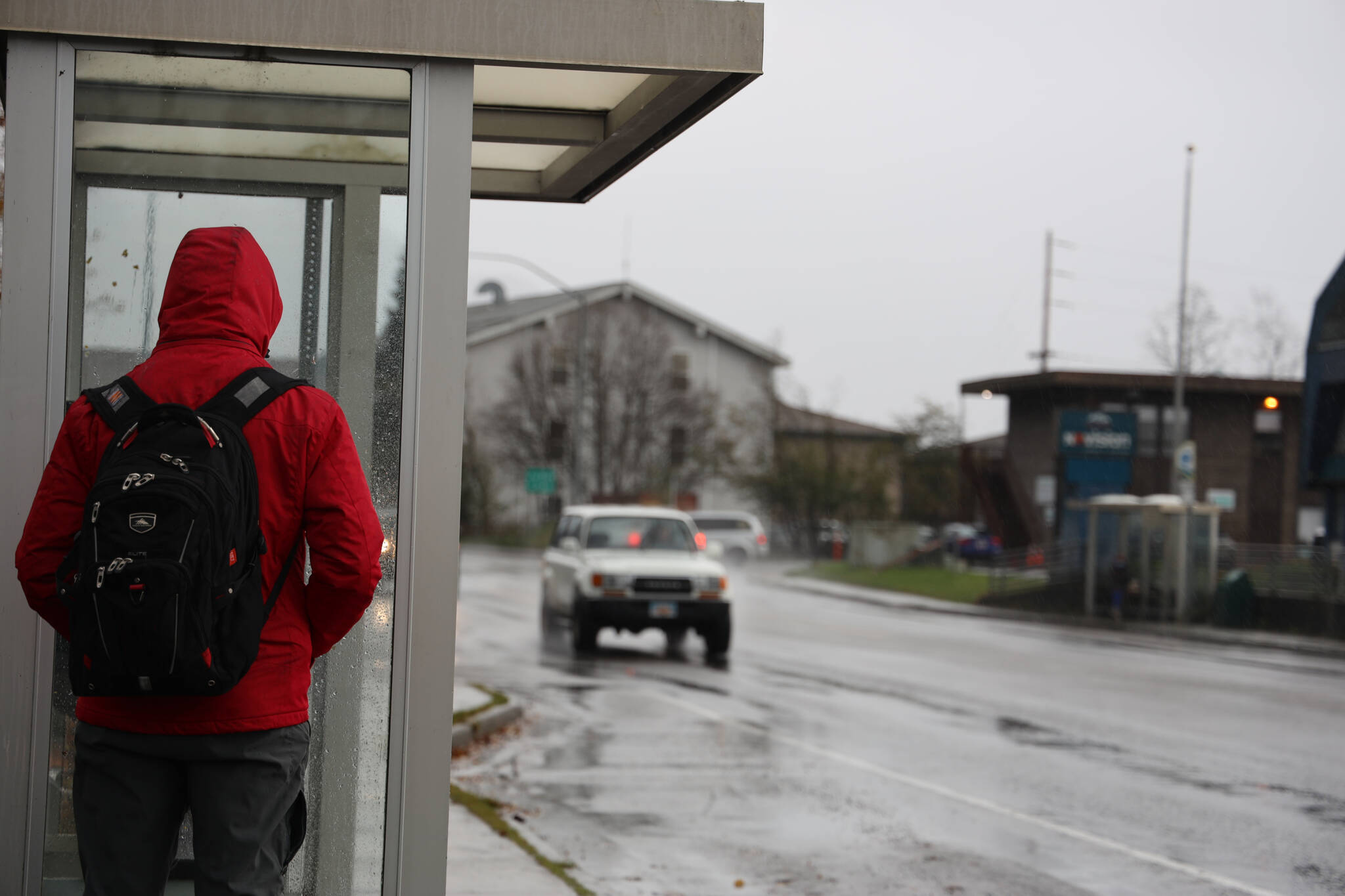
A storm with heavy rainfall and high winds abruptly welcomed itself to Juneau Wednesday afternoon prompting a flood watch from the National Weather Service Juneau, which officials said will remain in effect through late Friday night.
Rick Fritsch, the lead meteorologist at the NWS Juneau, said the current storm is “very typical” for October, which is notoriously one of the wettest and most windy months of each year. He said the weather service expects the rain to end in the Juneau area overnight Thursday and noted Friday should be reasonably dry during the day before another front is expected to arrive again at night.
According to data from the Juneau International Airport weather station, Wednesday’s peak wind speed clocked in at around 46 mph, with a peak sustained wind — highest continuous winds recorded over 2 minutes — 36 miles per hour.
However, Thursday’s weather already showed to be picking up speed compared to the previous day, said Grant Smith, another meteorologist at the NWS Juneau, and as of 9 a.m. The service recorded a peak wind speed of 55 mph and a sustained wind of 41 mph.
Comparatively, Skagway was far windier than Juneau Thursday early afternoon with a peak gust earlier of nearly 60 mph.
Juneau recorded 1.28 inches of rain in the past 24 hours as of Thursday afternoon, which is less than other Southeast Alaska areas like the Ripinski Ridge weather station near Haines which recorded 6.3 inches of rain over the past 24 hours and Pelican with 7.39 inches as of Thursday early afternoon.
Smith said there was significant flooding happening particularly around rivers in the area and said residents should be wary in the areas and refrain from driving on any roads that have a significant amount of water.
The typical at-risk sites in and around the Juneau area are Montana Creek Road, the Jordan Creek business park, Auke Lake, Mendenhall Lake and Mendenhall River.
He said Jordan Creek and Montana Creek are almost always the first locations to flood, and noted the Mendenhall River can continue to rise even after the rain ends because of runoff in the mountains draining into the lake.
Smith said recently Juneau has had some high rainfall back to back with little dry-out period, which is an indicator of concern for potential landslides as the rain continues to fall at a high rate.
“When we have lots of wind and lots of heavy rain, then that’s a note to us that landslides are a possibility and so we were concerned about that,” he said.
Smith said the flood advisory was put out to elevate the awareness that things such as floods and other weather-caused incidents can occur but said they could not pinpoint where and when they might happen.
City and Borough of Juneau emergency program manager Tom Mattice said the city is “definitely keeping an eye on things” and said they are monitoring the water levels in Montana and Jordan creeks.
He said the city is always concerned about the potential of landslides when there are high winds and rainfall, but said there were no specific sights the city is concerned about or monitoring as of Thursday afternoon. This comes just weeks after a landslide and a large tree fell and wiped out a house on Gastineau Avenue after a heavy storm.
“Just because that landslide is gone, doesn’t mean that’s the last one,” he said. “It can happen there again or happen in other locations.”
He said he urges people to remain aware and take safety precautions as the rain and wind continue.
“People in Juneau have to be aware of the hazards and spend time in places that are safer during higher risk periods,” he said.
According to the CBJ Docks and Harbors Department’s Facebook, officials are urging residents to be cautious of the wind and rain throughout the week if on the water, and to “keep an eye on your boats.”
“CBJ Docks & Harbors requests all boat owners to check your vessels. Please make sure mooring lines are secure, pumps are working correctly and your boat is not accumulating rainwater,” wrote CBJ public information officer Nichole Benedict in a PSA.
Matt Creswell, CBJ harbormaster, said since the storm began, two small skiffs began to take on water at Don D. Statter Harbor which was able to be recovered Wednesday, and another required water to be pumped out of it.
“We’re just asking people to get down as frequently as possible and check on their boats,” he said. “It’s a lot easier to recover on the front end than it is to recover on the back end.”
• Contact reporter Clarise Larson at clarise.larson@juneauempire.com or (651)-528-1807. Follow her on Twitter at @clariselarson.

