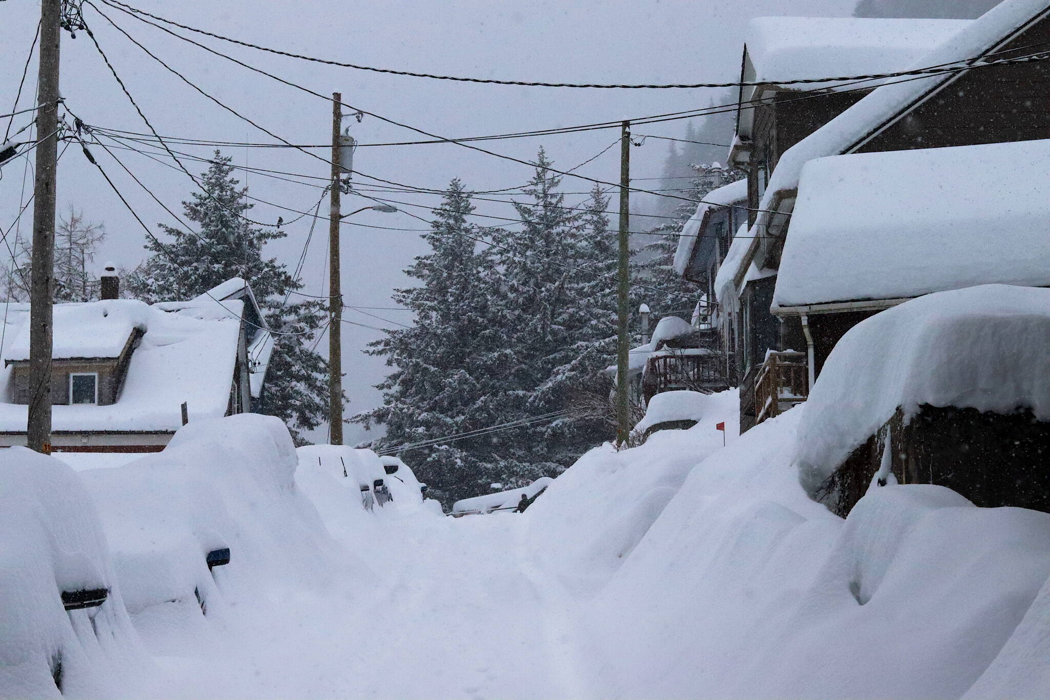
Update 6:45 p.m.: City offices and facilities will be closed, and the Juneau School District will again offer remote learning, on Tuesday due to a snowstorm expected to dump more than two feet of snow by Tuesday night.
”This closure includes the Dimond Park Aquatic Center, Dimond Park Field House, Treadwell Arena, Mt. Jumbo Gym, and Zach Gordon Youth Center,” a notice posted at the city’s website Monday evening states. “All Parks & Rec programming, including youth basketball and youth swim lessons, is cancelled. Additionally, Juneau School District has announced that all JSD schools and programs will be closed tomorrow.”
However, while in-person classes are canceled, the district has switched to remote learning during inclement weather.
Original story: A storm that arrived Sunday is lingering longer and dumping more snow on Juneau than forecast, with a winter storm warning now in effect until Tuesday night as more than a foot of snow has fallen in some places as of Monday afternoon and about another foot is possible during the coming day, according to the National Weather Service Juneau.
The storm closed most government offices and schools Monday, and Thane Road will be closed starting at 8 p.m. Monday due to high avalanche risk, according to officials.
A warning issued Saturday forecast up to 15 inches of snow between Sunday and Monday night. But the length of the warning has been extended multiple times by the weather service as the storm essentially continues to hover in the area.
“For Juneau, snow is expected to continue through tomorrow before transitioning to rain late Tuesday,” a statement issued by NWS Juneau at about 3 p.m. Monday notes. “The exact timing of the transition could vary depending on how long the outflow winds are able to hold on. If the gradient driving the outflow winds weakens faster than expected, a transition could happen earlier. But as the time of writing, current thoughts are that the cold air is going to persist.”
Snowfall totals for the 24-hour period ending at about noon Monday were 10.4 inches at Juneau International Airport and 12.2 inches at the NWS Juneau station near the Mendenhall Glacier. A few more inches fell during the afternoon, and an updated forecast at about 3 p.m. calls for about seven inches of accumulation Monday night and five inches on Tuesday.
Rain is forecast from Tuesday night through at least next Monday as temperatures hover between the mid-30s and about 40, according to NWS Juneau.
City and state facilities were closed Monday, although legislators at the Alaska State Capitol held sessions and meetings as scheduled, and the Juneau School District held its first-ever remote learning day due to winter conditions instead of in-person classes.
A series of advisories was issued by official agencies throughout Sunday and Monday, including the city asking residents to help keep drains and hydrants clear, and check boats in harbor to see if they are at risk of sinking.
A notice that the avalanche gates on Thane Road will be closed at 8 p.m. Monday was issued late Monday afternoon by the state Department of Transportation and Public Facilities “due to high avalanche hazard to the roadway.”
“This emergency closure will be re-evaluated at 8 a.m. on Tuesday, Jan. 23,” the statement notes. “The avalanche hazard is expected to remain high the next few days. If a natural avalanche reaches the roadway, it is unlikely DOT&PF will be able to safely remove the avalanche debris until the hazard can be minimized from mitigation work, or once the hazard has decreased naturally. Thane residents should be prepared for extended road closures.”
Recommended personal and household preparedness measures for such residents are available at the city’s emergency management site at https://juneau.org/emergency/personal-and-household-preparedness.
The avalanche risk for the Juneau area on Monday was classified as level four (“High”) out of five and forecast to stay at that level during the next couple of days.
“Last week we had a pretty large storm that left over 80cm of new snow in several days,” the forecast notes. “This caused a region wide avalanche cycle. Most of the urban paths slid during that time reducing current danger slightly and limiting avalanche potential size. Any slope that has not already avalanched has even greater potential for very large to historic avalanches as this storm continues to build over that weak layer with several feet in the forecast at upper elevations over a 3-day period once again.”
The city also posted a guide to residents about risks to structures from snow loads on roofs and removal precautions.
• Contact Mark Sabbatini at mark.sabbatini@juneauempire.com or (907) 957-2306.


