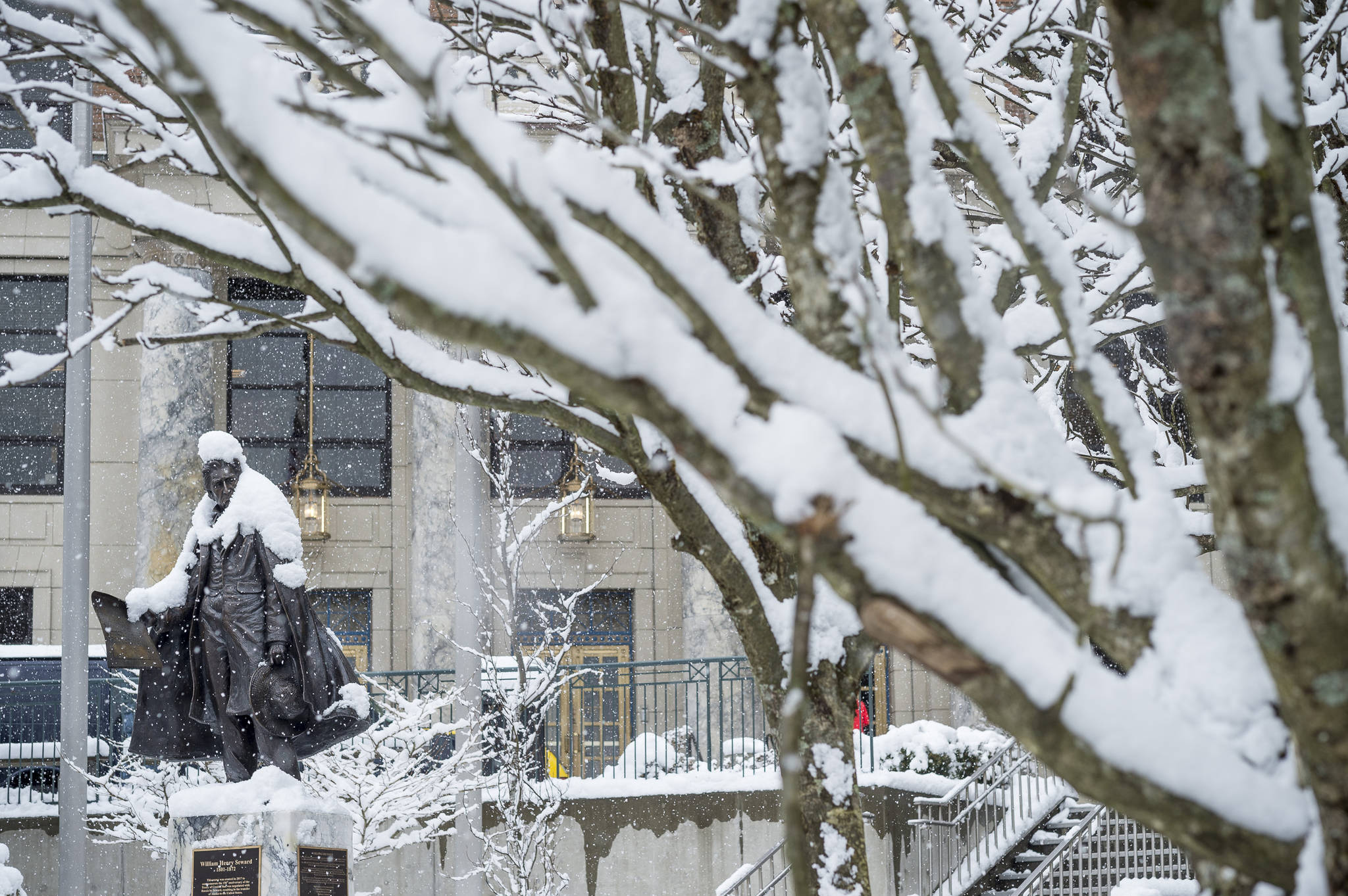
Southern Southeast’s rainforest is enduring rare drought conditions, and while northern Southeast missed the official drought cutoff, March will go into the weather record books as drier and colder than normal.
According to figures from the National Weather Service office here, Juneau temperatures averaged 32.2 degrees in March, 1.6 degrees below normal.
The airport is the city’s official measuring point.
Despite near-normal snowfall, the amount of March precipitation (rain and melted snow) was well below normal. Only 2.53 inches of precipitation was measured at the airport. That total was 1.25 inches below normal and the 22nd driest March on record.
According to the Weather Service’s official U.S. drought monitor, southern Southeast is experiencing a moderate drought, while northern Southeast, the Kenai Peninsula and portions of southwest Alaska are experiencing abnormally dry conditions.
In Juneau so far this year, only 10.58 inches of precipitation had been recorded at the airport between Jan. 1 and Monday morning. Normally, 13.56 inches has fallen on the capital city in that period. The record low is 4.45 inches in 1950.
According to snowpack assessments by the U.S. Department of Agriculture (parent agency of the Natural Resources Conservation Service and the U.S. Forest Service), there is much less snow than normal in Southeast’s mountains thanks to a cold and dry winter.
Snowpack around SE AK well below normal for this time of year. Below normal precipitation and temperatures, contributed to the low snowpack. Low snowpack combined with low precipitation impacts reservoir levels affecting power and water. #akwx @NRCS_AK pic.twitter.com/FaLtk4uEst
— NWS Juneau (@NWSJuneau) March 12, 2018
At Long Lake, which feeds Snettisham Hydroelectric Project, the snowpack contains only 63 percent of the median historical amount. Last year, the snowpack had 75 percent of the median amount at this point in the year.
Figures published in mid-March showed the snowpack on Douglas Island to be near record lows.
The March conditions can be attributed to lingering high pressure over western Canada that pushed cold, dry air through the coastal passes and into Southeast Alaska. Only occasional bursts of moisture from the Pacific Ocean interrupted that pattern.
Our updated monthly outlook for April has high confidence for below-normal temperatures across much of the Northern Plains and Upper Mississippi Valley given the cold pattern that appears likely to persist through at least the first half of the month. https://t.co/ZojpnS5Ja5 pic.twitter.com/KgmJDCymCJ
— NWSCPC (@NWSCPC) March 31, 2018
Looking ahead to April, the Weather Service expects drier-than-normal weather to continue in Juneau and across Southeast Alaska. Temperatures are expected to moderate, with forecasters predicting an equal chance of normal, above-normal, and below-normal warmth.
In the short term, expect sunny skies to continue through the week, with high temperatures in the upper 30s and brisk winds downtown and in Douglas.
• Contact reporter James Brooks at jbrooks@juneauempire.com or 523-2258.

