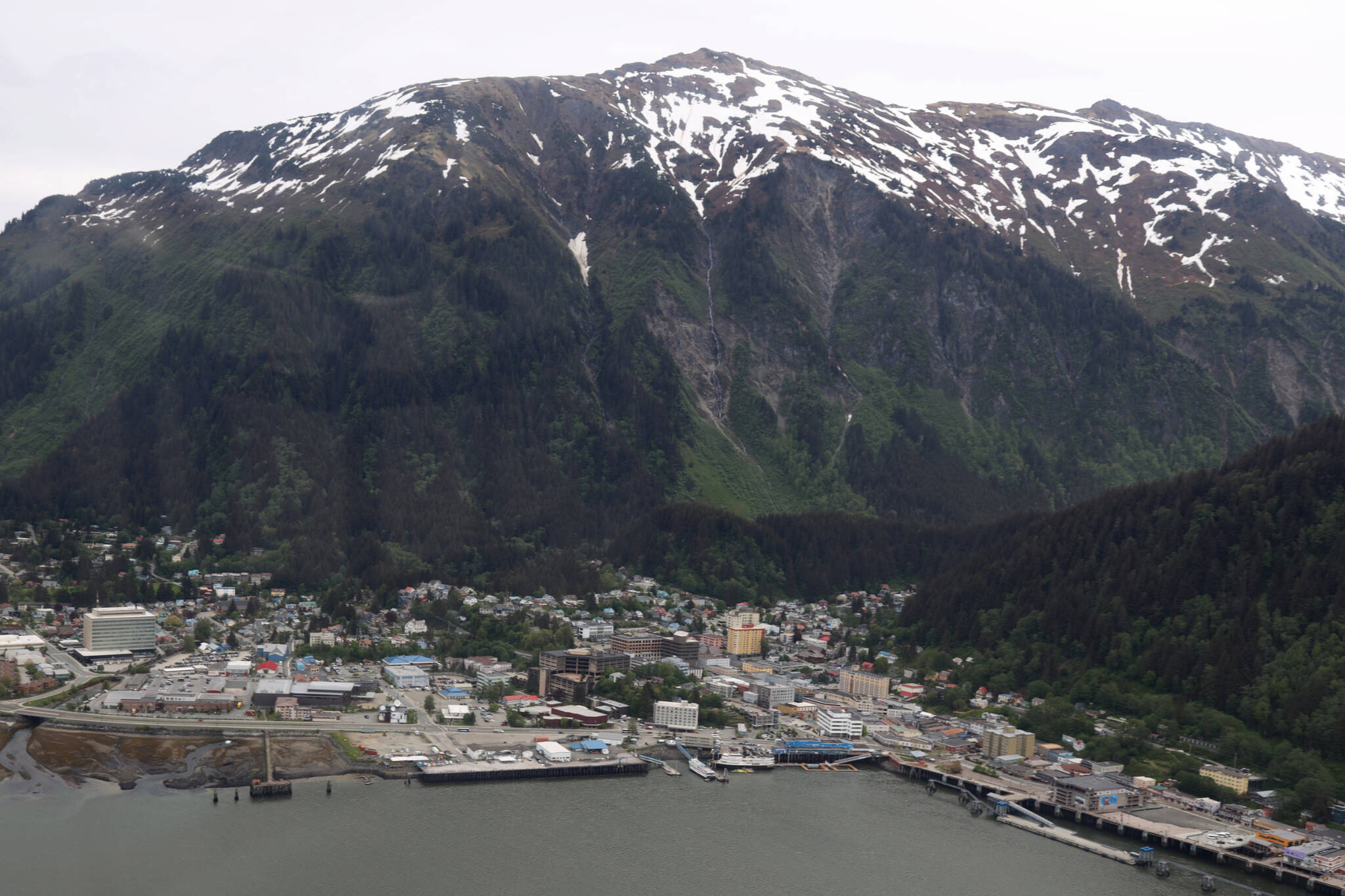
The City and Borough of Juneau’s Planning Commission made a pivotal decision for the future of Juneau’s potentially avalanche or landslide-prone areas after members unanimously passed a motion to not recommend the adoption of new hazard maps and policy based on them to the Assembly.
The decision follows years of discussion on whether to accept the new map — commissioned by the city in 2018 and paid for by a grant from the Federal Emergency Management Agency — and what regulatory changes and policy implications may flow from the updated avalanche or landslide-prone zonings.
[Landslide damages building, prompts evacuation]
CBJ’s current hazard maps, adopted in 1987, are based on maps created in the 1970s.
Under on the new maps, the number of properties that move into high/severe landslide zones grows from 173 to 374, including 217 properties that were not included in the 1987 severe zone. Because the study area is more extensive, many properties were evaluated for the first time.
The vote Tuesday night came after nearly 20 rounds of public testimony from Juneau residents during the three-hour meeting, most of the public comments urged the commission to reject the maps, arguing that the new maps would potentially devalue their homes and it nearly impossible to find insurance under the new zoning.
During public testimony Mary Ellen Duffy, a senior resident, said she is on a fixed income and argued that “aAdopting the map discussed will price me out of my home and possibly Juneau, the required hazardous slide home insurance is untenable for me.”
Larry Fanning said the adoption of the maps would have “far-reaching unintended negative consequences” and its impacts on homeowners trying to sell their homes or secure insurance would be “devastating.”
Resident Brianna Ackley agreed.
“If the new risk maps are adopted, it can make entire neighborhoods unsellable,” she said.
Paul Voelkers, who had been a member of the planning commission for a decade, said he thought the topic was “the hardest issue” that has come before the commission.
Jill Maclean, director of the city’s Community Development Department, said she believes the maps have good information, but said even with the most information available she thinks the topic will always remain split among residents.
She said regardless of what residents think of the new maps and ordinance, she argues the current maps are also a hindrance to property owners.
“Even today you may only have an avalanche risk, but because the current adopted maps show you as both, you are often in the same place of trying to get insurance for a landslide even if you’re only in an avalanche,” Maclean said. “I think regardless of the new maps, I think the Assembly needs to address the currently adopted maps.”
She continued: “It’s a difficult ordinance to balance the needs and safety in this area.”
• Contact reporter Clarise Larson at clarise.larson@juneauempire.com or (651)-528-1807.

