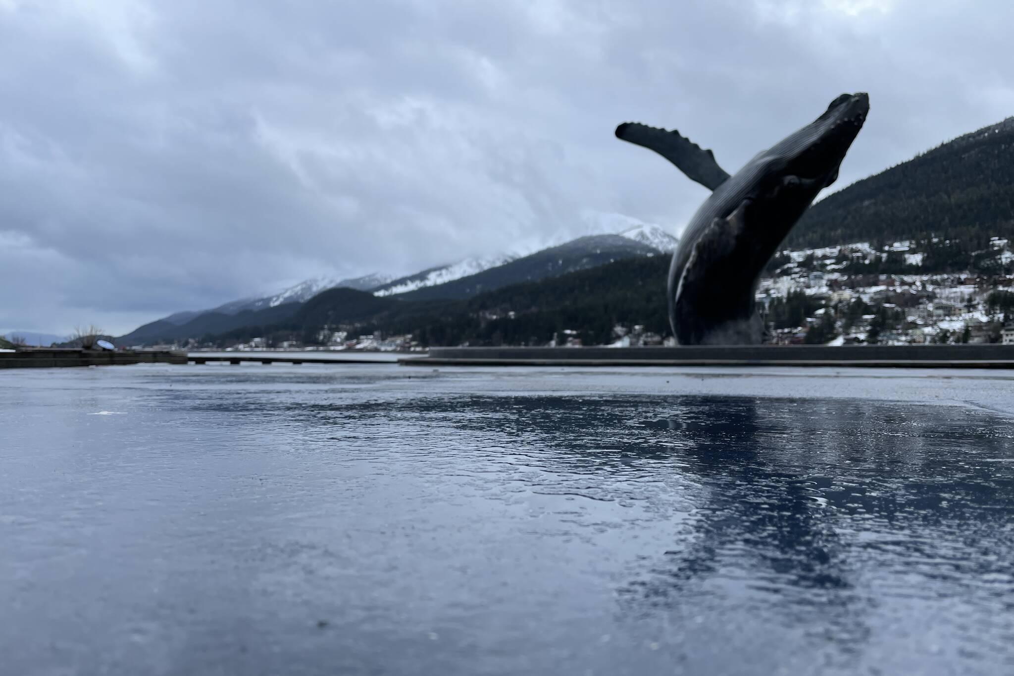
A somewhat wetter and snowier 2021 rolled into a record-setting amount of rainfall in January, a trend that shows signs of continuing, with heavy rain predicted this week.
Warm temperatures contributed to the heavy rain, said National Weather Service Juneau meteorologist Kayla Tinker.
“In January, the temperature should be closer to freezing, so usually it would fall as snow,” Tinker said in a phone interview. “This time last year, we were experiencing those really cold temperatures. We’re experiencing heavy rainfall instead of heavy snowfall.”
| January 2022 Climate Summary |
Most areas had a wetter than normal Jan, with Juneau Airport having its wettest Jan on record! A combo of deep snow from Dec & snowstorms at the start of Jan lead to rooftop snow loading impacts.
Find more here: https://t.co/w7x16fiNnb pic.twitter.com/h3Ly1Bkd8G— NWS Juneau (@NWSJuneau) February 5, 2022
The airport monitoring station received 12.29 inches of rain, the heaviest on record, according to the NWS, and more than double the average amount of slightly more than 6 inches. That’s expected to continue this week, as Juneau is forecast to see another atmospheric river, or stream of high moisture leading to heavy rainfall.
“(The atmosphere river’s) pretty much coming from the south and it’s moving northward. That’s why when we get them we usually get rain,” Tinker said. “Juneau will probably end up being wetter than most places.”
When atmospheric rivers come from Hawaii, Tinker said, they’re sometimes known as a Pineapple Express.
The airport set another record on Feb. 5, according to NWS social media, setting a historical precipitation record of 1.62 inches for rainfall on Feb. 5, beating that date’s previous record of 1.02 inches set in 1954.
| Annual Climate Summary for 2021 |
Which weather events do you remember from this past year? Here is a list of a few that stood out to us! View the full annual climate summary and data here: https://t.co/i2fGPJFVmV pic.twitter.com/jHv6tLh5AT— NWS Juneau (@NWSJuneau) February 6, 2022
Another year, another record
Across Southeast Alaska, 2021 brought increased average daily temperatures, including Juneau, according to the NWS’ annual report. However, while Juneau’s daily average highs increased, its daily average lows decreased, offsetting a visible increase in daily average temperatures, according to the report.
“Klawock Airport set the state record for the earliest 75 degree weather on April 18,” Tinker said.
Juneau and Ketchikan both saw increases in precipitation, according to the NWS report. Juneau had 76.53 inches of rain, falling between a 1991 record of 85.15 inches and an average of 66.99 inches. In colder weather, 137 inches of snow fell in 2021, short of a 1994 record of 212.1 inches but well above the average of 87.6 inches.
“The temperatures at some points during the year were well below normal,” Tinker said. “In December it was so cold all the time, so we got snow.”
Rainfall coming
While this week is expected to have heavy rainfall beginning Tuesday and running through Wednesday or Thursday, Tinker said there is a possibility of snow as soon as the weekend. NWS social media issued a flood watch for Juneau from Wednesday through Thursday.
An atmospheric river aims at the panhandle Wednesday. A Flood Watch has been issued for portions of the panhandle. See graphics below for more details and stay tuned for forecast updates this week. #akwx #AtmosphericRiver pic.twitter.com/EXlBK8zmQ0
— NWS Juneau (@NWSJuneau) February 8, 2022
Other highs and lows from 2021 for Juneau include a high of 83 degrees on June 28, and a low of -5 on Feb. 10. These temperatures are 5 degrees warmer and 7 degrees colder respectively than the average for Juneau, according to the report.
There were also 249 days with some form of light or heavier rain, 102 days with light or heavier snow, and precisely 1 day with a thunderstorm, according to the report.
• Contact reporter Michael S. Lockett at (757) 621-1197 or mlockett@juneauempire.com.

