Sea levels nationwide will rise about a foot in the next thirty years — as much as it’s gone up in the past century, according to a recently released report by the National Ocean and Atmospheric Administration.
But for Juneau, circumstances may see the sea levels dropping instead, said University of Alaska Southeast geophysics professor Jason Amundson.
“Here in Southeast Alaska, we have quite a bit of uplift. It seems like we’re outpacing the sea level rise,” Amundson said in a phone interview. “Since 2006 to basically today, the land has lifted about 30 centimeters, about a foot.”
[Amendment passes increasing dockage fee]
That uplift is driven by isostatic rebound, or glacial rebound — as the titanic weight of the glaciers and icefields melts off, it relieves pressure on the planet’s crust, allowing it to push up. Northern Southeast Alaska has noteworthy uplift rates, Amundson said.
“Right now what’s happening is the channel is getting shallower and shallower,” Amundson said. “If sea level rise is speeding up, it’s because the glaciers are melting faster, which presumably they’d be melting here as well.”
The Juneau Icefield contains countless tons of ice, Amundson said, but as it melts, that weight will lessen.
“There are some modeling studies that show that large parts of the Juneau ice field will be gone within 100 years,” Amundson said.
There are scenarios where the sea level rise could outpace the uplift, Amundson said, including a situation where an ice mass in western Antarctica breaks off.
“That’s probably not the next 30 years,” Amundson said. “But if we’re looking at the next 100 years, that’s a concern.”
A draining channel
From the perspective of City and Borough of Juneau Docks and Harbors, the greatest source of concern isn’t sea level rise but storm surges and tsunamis, said port engineer Erich Schaal.
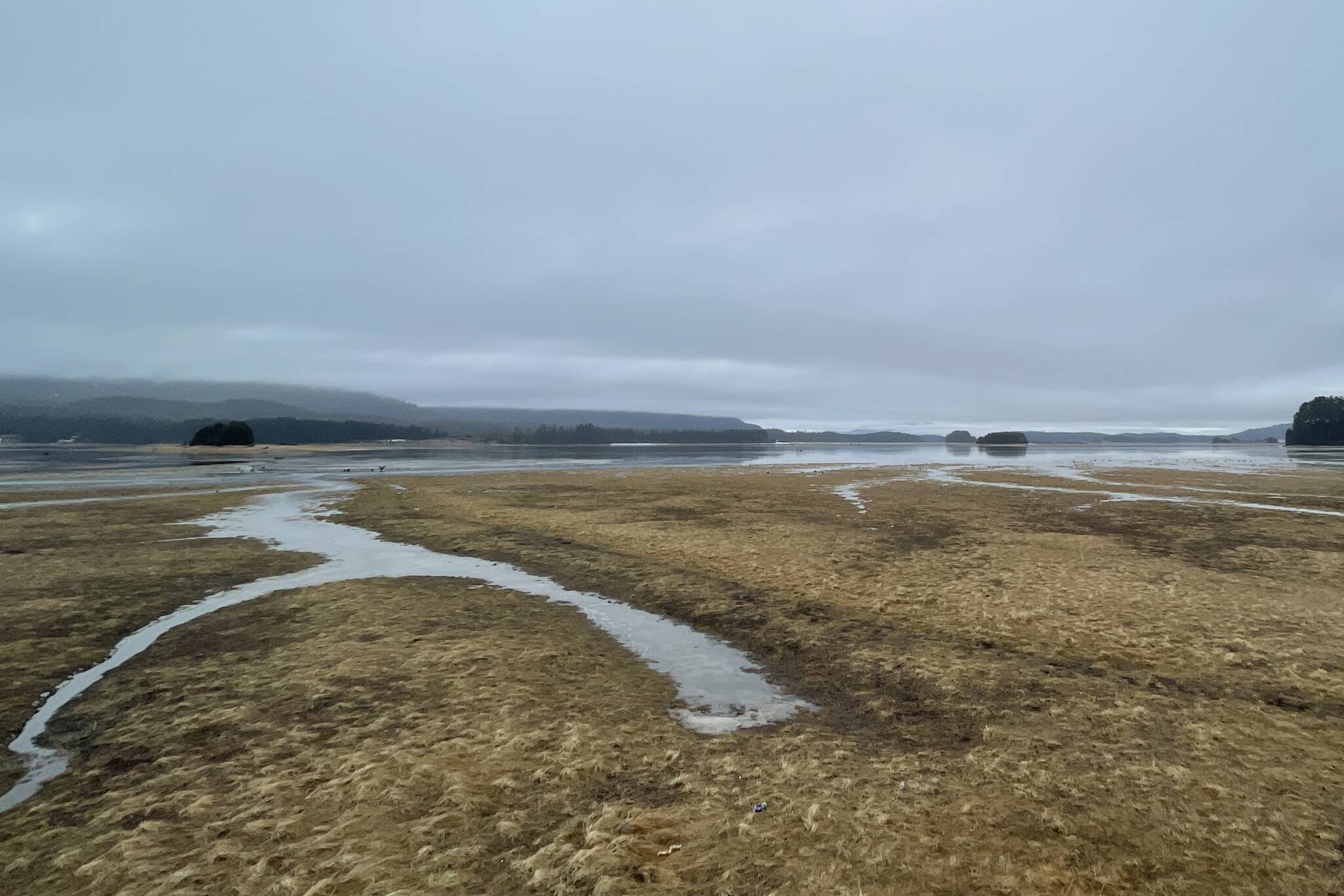
The Mendenhall Wetlands have risen further and further relative to sea level, Schaal said.
“It’s feet and feet of increase. When you look at old photos of the airport, it was a vegetation-less mudflat. Now the alders are starting to grow,” Schaal said in a phone interview. “Semiaquatic plants are moving in bands as the elevation changes.”
While the channel, especially close to the wetlands, is gradually becoming shallower, it’s not going to threaten boating operations closer to the bridge and downtown, Schaal said. Dredging will help keep the harbors north of the bridge navigable as well, Schaal said, with some areas closer to the salmon hatchery already requiring dredging by the owners.
Schaal said there’s more concern about the possible effects of a tsunami on Juneau, like that created by the cataclysmic eruption of the volcano in Tonga. But Juneau’s unique geography once again comes to its aid from tsunamis caused out in the Pacific.
“That explosion was so powerful it was picked up by barometers here. My barometer in my house picked it up,” Schaal said. “We know that we’re very well protected from that. We’re behind all these islands, and there’s all these channels, and the tides.”
Concerns about landslides, both above and below the surface of the ocean, abide, however.
“There are a few features in Juneau that are a risk if we have a large enough earthquake,” Schaal said, describing features like sediment accumulations which could shift, causing a submarine landslide.
• Contact reporter Michael S. Lockett at (757) 621-1197 or mlockett@juneauempire.com.

