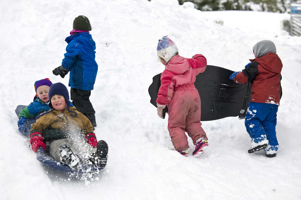
The first measurable snowfall of the cold season arrived in Juneau over the weekend, with 0.4 inches recorded by the National Weather Service at Juneau International Airport.
Measurements show Juneau at the southern edge of a band of snowfall that dropped the first measurable amounts of frozen precipitation on the capital city. While the weekend’s snow total was measurable, it wasn’t much — in most places at sea level, it didn’t even cover the grass.
Forecasters had been predicting 3-6 inches of snow, but that forecast fell apart as an expected storm did.
Generally, the heaviest snowfall was recorded by measuring stations closest to the Canadian border or at higher elevations.
By 8 a.m. Monday, the Haines Highway customs station was sitting in 20 inches of snow, and the city of Haines had a foot on the ground.
At the base of Eaglecrest Ski Area on Douglas Island, a snow depth of 11 inches was reported on Monday morning. At the mountain’s top, more than three feet of snowpack was reported, and a handful of adventurous skiers and snowboarders used Sunday to test the conditions.
Juneau’s ski area is expected to formally open Dec. 5.
Weather Service forecasters expect temperatures to remain at or below the freezing mark at sea level through midweek, with temperatures gradually increasing as the weekend approaches. Isolated snow showers are expected, but no significant precipitation is forecast until the end of the workweek.

