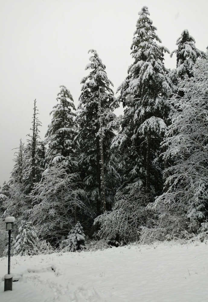
Juneau’s record-dry start to October broke in a shower of flakes over the weekend as the city enjoyed an unexpected burst of snow.
Juneau’s average first recordable snowfall is Nov. 3, and according to the National Weather Service, the weekend’s snowstorm marked the first time since 1940 that Juneau had recordable snow before both Anchorage and Fairbanks.
The 5.1 inches of snow at Juneau International Airport was the fourth-most for a single October day in Juneau, and it set a record for the date.
The snow came after a record-setting dry streak. When rain started falling Saturday afternoon, it was the first time since Sept. 28 that any measurable precipitation (rain or snow) had fallen on Juneau. In that period, cities like Phoenix, Arizona and Reno, Nevada had more rainfall than Juneau.
David Levin, a meteorologist with the National Weather Service in Juneau, said the weekend snowfall owes a lot to the same weather conditions that brought the dry weather.
When a ridge of high pressure over the Gulf of Alaska formed earlier this month, it kept moisture and clouds from moving into the area, “which dried us out,” he said. “It also deposited cold air up to our north and east, so then when we finally got moisture … some cold air was in place, which was a little bit unusual, and we were able to produce snow.”
The snowfall isn’t unprecedented — snow fell as early as the first week of October in 1974 and in 2000, but it was unexpected.
“It’s definitely a big boost for everybody’s morale,” said Matt Lillard, general manager of Eaglecrest Ski Area. “Usually, we don’t look for snow until … sometime around Halloween.”
The snowfall coincided with Eaglecrest’s deadline for the cheapest season passes, and he’s hoping that the snow made an impact on pass sales — even if it didn’t actually help on the slopes. Lillard said the ski area generally needs “two-plus feet” of snow to open early, and the weekend’s snowfall had largely melted by Monday afternoon.
If the snow was cause for smiles at Eaglecrest, it gave Alaska Electric Light and Power some frowns.
The first snowfall of the season typically brings a wave of broken branches and fallen power lines, and this weekend was no different, said company vice president Debbie Driscoll.
“At the beginning of every season … we do have a smattering of these types of outages,” she said, adding that she was unable to tell whether the early snowfall — which fell on some trees that still had leaves — contributed to the number of outages.
AEL&P had two crews working despite the weekend, and all of the outages were resolved quickly.
“In terms of preventing it, there’s not a lot customers can do,” Driscoll said, but people can call AEL&P if they see branches dipping dangerously toward a line, and they should create an “outage kit” to prepare if the power goes out.
The weather service’s forecast for the rest of the week calls for a return to Juneau’s normal autumn weather — rain and temperatures in the 40s.
Snowfall totals through noon Monday:
• Haines — 12 inches
• Eaglecrest — 10.2 inches
• Mud Bay — 9.5 inches
• Haines border station — 9 inches
• Mendenhall Valley — 8.6 inches
• Annex Creek — 7.9 inches
• Snettisham — 6.5 inches
• Juneau airport — 5.1 inches
• Auke Bay — 5 inches
• Hoonah — 4.5 inches
• Gustavus — 2.3 inches
• Pelican — 1 inch

