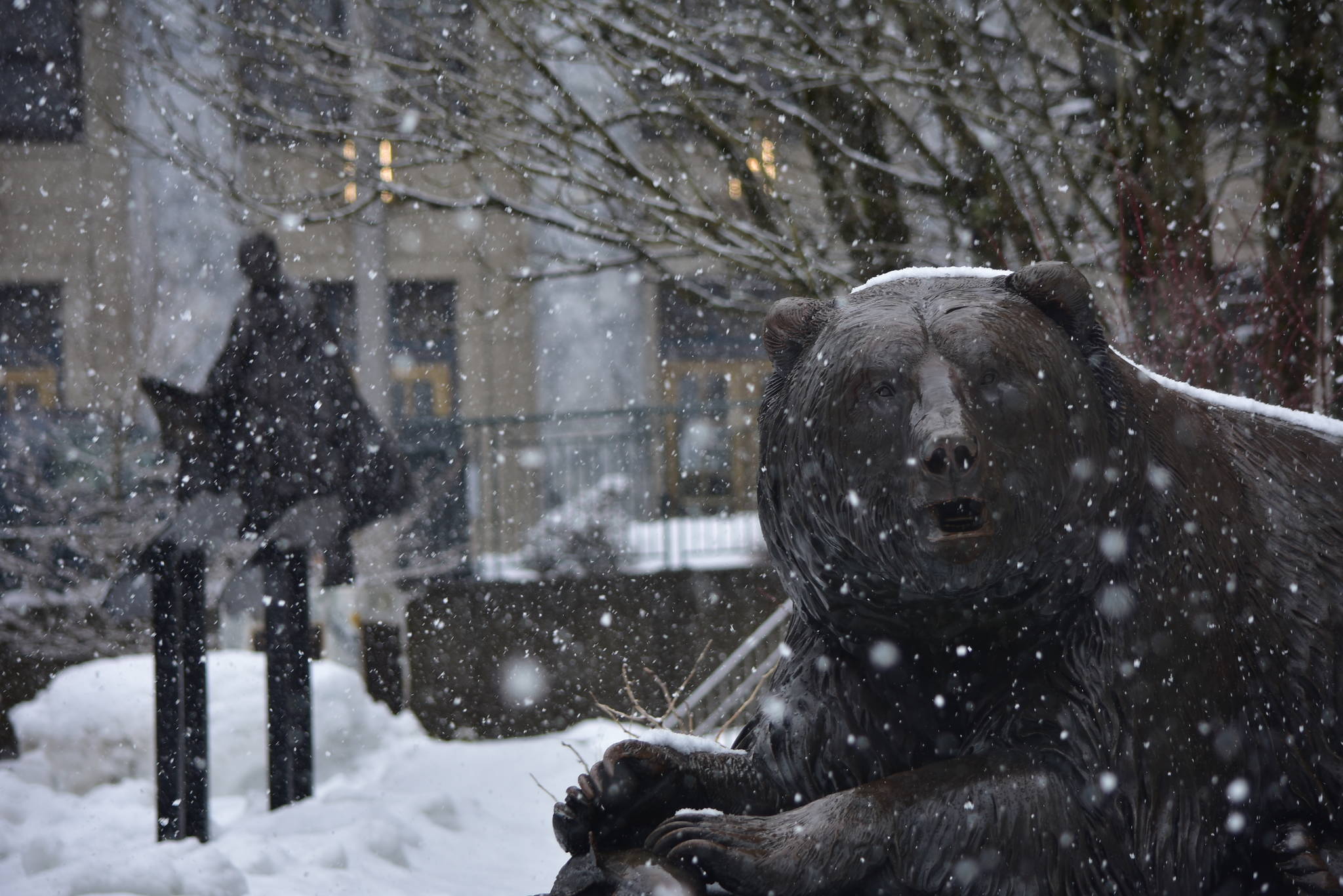
Cool temperatures and storms off the Gulf of Alaska are combining to make March 2021 one of the snowiest Marches on record, said a National Weather Service meteorologist.
But with 25 inches of snow currently recorded for the month at the Juneau International Airport, there’s a ways to go before breaking the record for March of about 60 inches of snow, said Edward Liske, a NWS meteorologist here in Juneau.
“We’re seeing a lot of times when the temperatures are warming up in the daytime. The precip is still falling as snow but it’s not sticking to the ground,” Liske said. “The temperatures are falling at night, and we accumulate about 3-4 inches of snow in the nighttime hours. We’re going to be seeing that for the next few days.”
[Juneau’s institutions look back on a year of COVID]
The fun is slated to go on for the next several days, and the Climate Prediction Center is calling for lower-than-average temperatures that could last through April and May into June, Liske said. And the snowy weather for this week isn’t over yet.
“We’ve got one more system for late tonight into tomorrow, bringing more snow and possibly rain by tomorrow,” Liske said. “It’s going to be pretty slick for the next few days. It’s going to be accumulating slush.”
Another system is expected to strike Juneau closer to the weekend tailing moderate thawing on Wednesday and Thursday, Liske said.
“Another system coming up Friday night and possibly Saturday that’s going to be bringing more precipitation,” Liske said. “We’ll see what kind of p-type we get out of that.”
The mounting snow could increase the risk of avalanches, said Tom Mattice, emergency program manager with the city. Last month, residents in the Behrends Avenue Avalanche Path were advised to evacuate due to potential for historic avalanches. The worst possibilities went unrealized, and especially large and damaging avalanches did not occur.
The continued precipitation will increase avalanche risk, Mattice said in an email. The risk level, visible at https://juneau.org/emergency/current-advisory, is currently at Level 3: Considerable.
“Dangers will go up tomorrow with increased precipitation rates and warming temps,” Mattice said. “Dangers will potentially get even higher Friday with rains to higher elevations and potentially large storm volumes.”
• Contact reporter Michael S. Lockett at (757) 621-1197 or mlockett@juneauempire.com.

