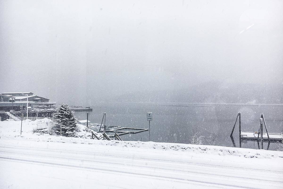
Valentine’s Day weekend will start wintery and bleak.
“The most snow we expect is for today, 4-9 inches of snow,” Cody Moore, a meteorologist with the National Weather Service in Juneau, said Friday. “It’s not just for Juneau, it’s for much of the northern panhandle.”
A winter weather advisory is currently in effect for the Southeast, as medium to heavy snowfall is expected throughout Friday into early Saturday. The rest of the weekend is likely to warm up a bit, Moore said.
“We’ll enter a rainy pattern through Monday,” Moore said. “We’re gonna be in a slow warming trend for the next week. We’re in this onshore flow pattern, so we’ve got winds coming off the ocean.”
The temperatures are expected to stay at roughly the same level, Moore said, though he warned that predictions for more than a week or so out were guesses at best.
“Over the next couple of weeks, we have equal chances of above or below normal temperatures,” Moore said. “No strong signals showing us above or below.”
While the temperature is holding steady, the precipitation is batting above average, Moor said.
“For precipitation we’re slightly above average. We’ve downgraded the drought for much of the panhandle,” Moore said. “There’s been major improvements since the summer for the entire panhandle.”
The record high temperature on Valentine’s Day was 53 degrees, occurring in 2017. The record low was -11 degrees, chilling down 1956.
Next week looks likely to be a wet one, Moore said.
“There’s a storm system coming in Tuesday into Wednesday,” Moore said. “That’s the next big rainmaker for us.”
• Contact reporter Michael S. Lockett at 757-621-1197 or mlockett@juneauempire.com.

