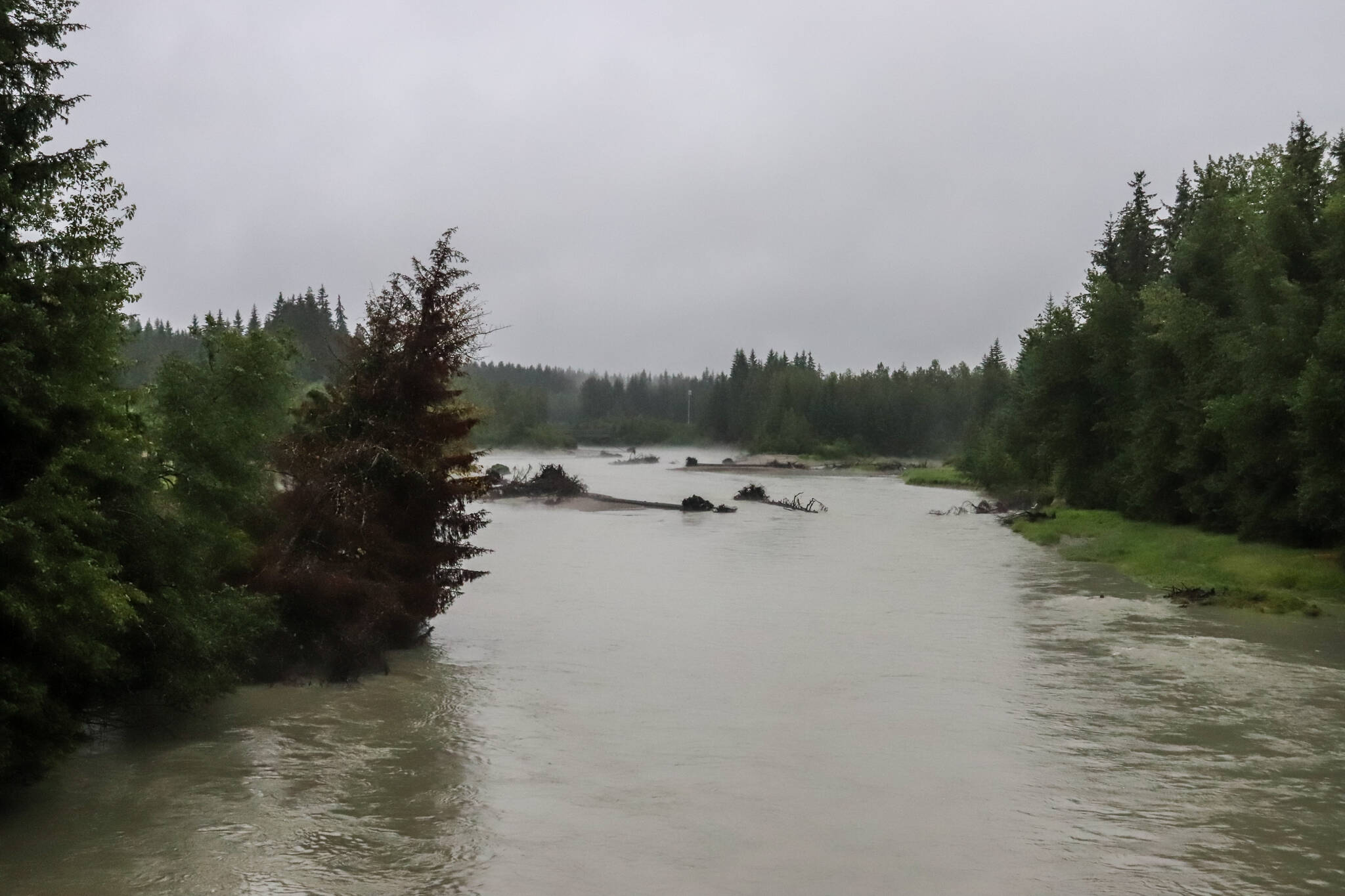
Due to heavy rain and ice melt over the past week, the fill rate of Suicide Basin has increased to approximately 50 feet per week, according to the National Weather Service Juneau website.
Precipitation totals are expected to be much less for the coming week, so the fill rate is expected to decrease, according to NWSJ. Assuming the rate decreases to 30 feet per week, the basin would be full around the first week of August.
“There’s concern because of how full it is,” said Aaron Jacobs, senior hydrologist for NWSJ. “But there’s no indication of any type of release taking place at this time. But it has risen a fair amount over the last week from heavy rain. And we just did some calculation and looks like we can see a full basin by the first week of August.”
Suicide Basin is a side basin above the face of the Mendenhall Glacier. Since 2011, Suicide Basin has released glacier lake outburst floods known as jökulhlaups that cause inundation along Mendenhall Lake and Mendenhall River multiple times each year.
A record flood event in August of 2023 caused flooding and erosion along Mendenhall River, leading to multiple homes and an apartment complex being compromised. One house fell into the river and parts of others were lost.
While a release can happen at any time, Jacobs said there is no indication as of Wednesday that a release has started or could start.
Suicide Basin’s rate of rise continues to be monitored. Jacobs recommended people check https://www.weather.gov/ajk/suicidebasin for the latest information.
NWSJ, the U.S. Geological Survey, the City and Borough of Juneau, and the University of Alaska Southeast work together to surveil Suicide Basin. In June, expert researchers held a town hall to discuss newly installed monitoring equipment. A livestream of the town hall can be watched here.
NWSJ meteorologist Nathan Compton said a flood watch advisory expired at 10 p.m. Wednesday.
“It was just a very, rather quick moving AR (atmospheric river) and not particularly as powerful as the previous one that we got last weekend,” he said. “But we did see those rivers still rise. And it was a lot of like the smaller streams because we got that really intense rainfall for such a short period — get those spikes in places like Jordan Creek, places like Montana Creek. We’ll still see rises in Mendenhall Lake and Auke Lake through this evening and into tomorrow because it has a delayed effect as all that water starts to get into the lake and get into the river. I’d still expect to see a lot of the bigger bodies of water still raising through the evening. But you’ll start to see a lot of those smaller creeks — like Montana, like Jordan — you’ll start to see those drop pretty rapidly as soon as the precip’ stops.”
The precipitation beginning again on Friday is not expected to be as strong as this past atmospheric river, he added.
On Friday, NWSJ released information about records broken during the rainy week. On July 10, a new daily record was set at 1.73 inches, breaking the old record of 1.53 inches set in 1961. On July 14, a new daily record was set at 1.24 inches, breaking the old record of 0.84 set in 1989. On July 15, 1.22 inches of rain broke the daily record of 1.06 inches set in 1978. Finally, a new daily record was set for July 17 at 1.80 inches, breaking the old record of 1.22 inches set in 1963.
• Contact Jasz Garrett at jasz.garrett@juneauempire.com or (907) 723-9356.

