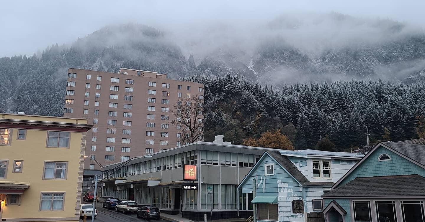
Juneau residents greeted Alaska Day with the first sea-level snow of 2020, with a light dusting falling in the Mendenhall Valley.
“Typically our first snow isn’t till the first week of November. The record for the earliest first snow is Oct. 15,” said Cody Moore, meteorologist with the National Weather Service in Juneau, in a phone interview. “For us to get first snow on the Oct. 19 is pretty early.”
While downtown didn’t see as much snow at sea level, this early appearance of snow is a sign of things to come, Moore said.
“We are getting into a La Nina pattern globally,” Moore said. “Typically La Nina pattern means a colder-than-average winter for Southeast Alaska.”
[7.5 magnitude quake off Alaska prompts tsunami warning]
La Nina refers to the periodic cooling of ocean surface temps in the Pacific Ocean, which affects weather across the hemisphere, according to the National Weather Service. La Nina is the opposite phase of the El Nino cycle. The cycle typically runs from two to seven years, Moore said.
“They have a tilt towards cooler-than-average temps,” Moore said, talking about forecast predictions for this winter. “For precipitation, there’s no climate signal for more or less.”
The rest of the week is expected to be cool and dry, Moore said, especially toward the middle and end of the week.
“With the cooler temps this week, we are gonna be pretty dry,” Moore said. “It’s gonna be a pretty quiet week ahead. We don’t always get these extended stretches of drier weather in October.”
• Contact reporter Michael S. Lockett at (757) 621-1197 or mlockett@juneauempire.com.

