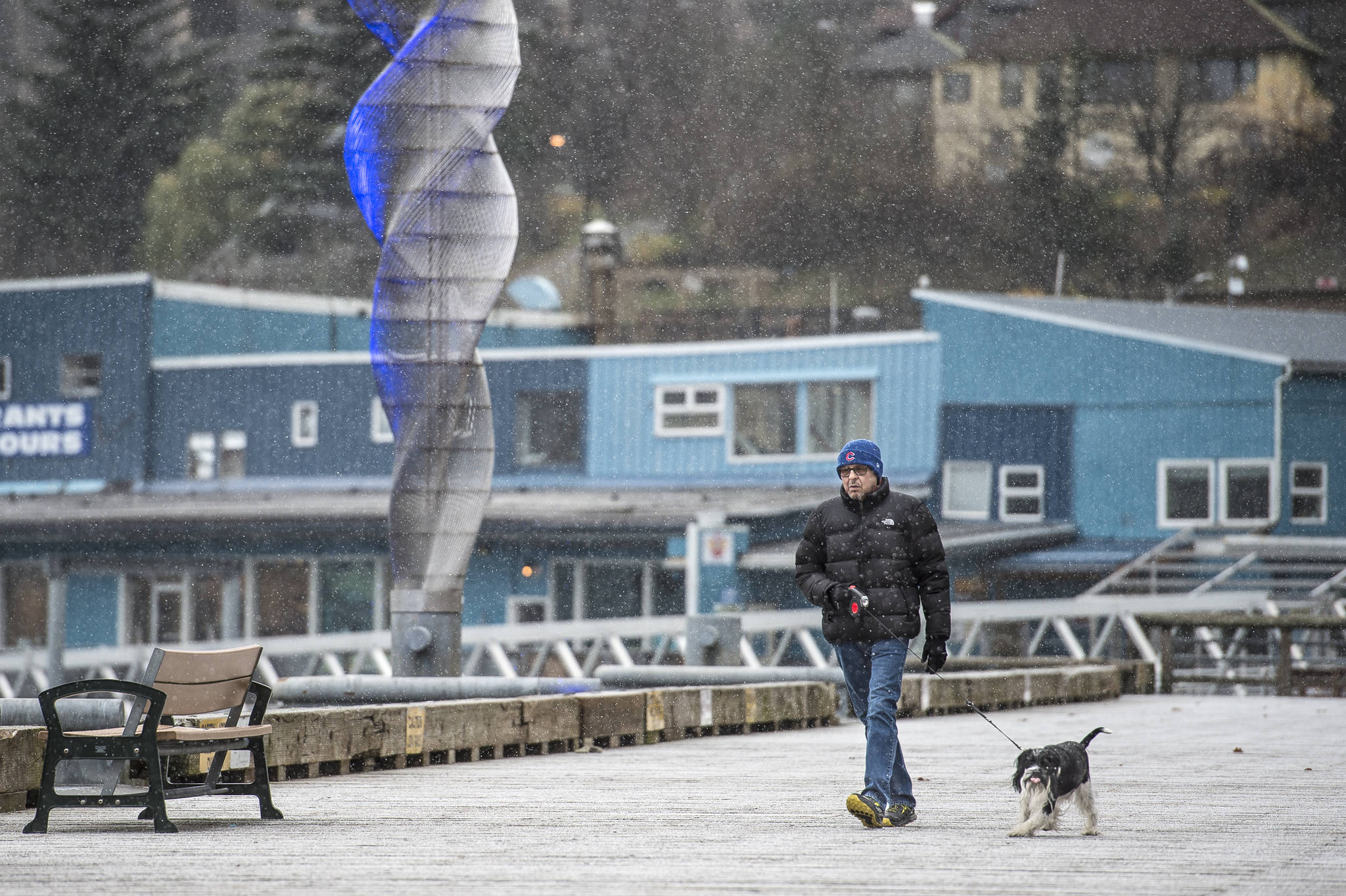
The National Weather Service received its first reports of trace snow at sea level in Juneau Thursday.
Those are just flurries, said Meteorologist Pete Boyd, but a low-pressure system could bring around 1-2 inches Thursday evening. Forecasters aren’t expecting that snow to stick, Boyd said.
“What we’ve got for the forecast for tonight is still a mix of rain and snow for most areas for Juneau. We are not expecting any accumulation,” Boyd told the Empire on Thursday.
The NWS received reports of snow in the downtown area, in the Mendenhall Valley and Douglas on Thursday. Hail fell in Lemon Creek around 12:15 p.m.
The main band of precipitation associated with the low-pressure system is expected to hit Juneau around 4-6 p.m. Thursday, Boyd said.
“At this point, it’s just moving into the edge of the area,” Boyd told the Empire at about 12:45 p.m. Thursday. “That lasts through most of the night.”
Snowfall on Thursday would be about average for the first yearly snowfall. The NWS uses a weather station at the Juneau International Airport to compare snowfall dates, Boyd said, with the average first accumulation (above one-tenth of an inch) coming on Nov. 4.
The earliest the airport had ever recorded snowfall was Oct. 2. Early snowfall has been recorded at that date twice. In 2000, 2 inches fell at the airport. In 1974, 0.8 inches fell.
The latest in the year Juneau had experienced its first snowfall at the airport was Dec. 14, 2002, Boyd said.
• Contact reporter Kevin Gullufsen at 523-2228 and kgullufsen@juneauempire.com. Follow him on Twitter at @KevinGullufsen.

