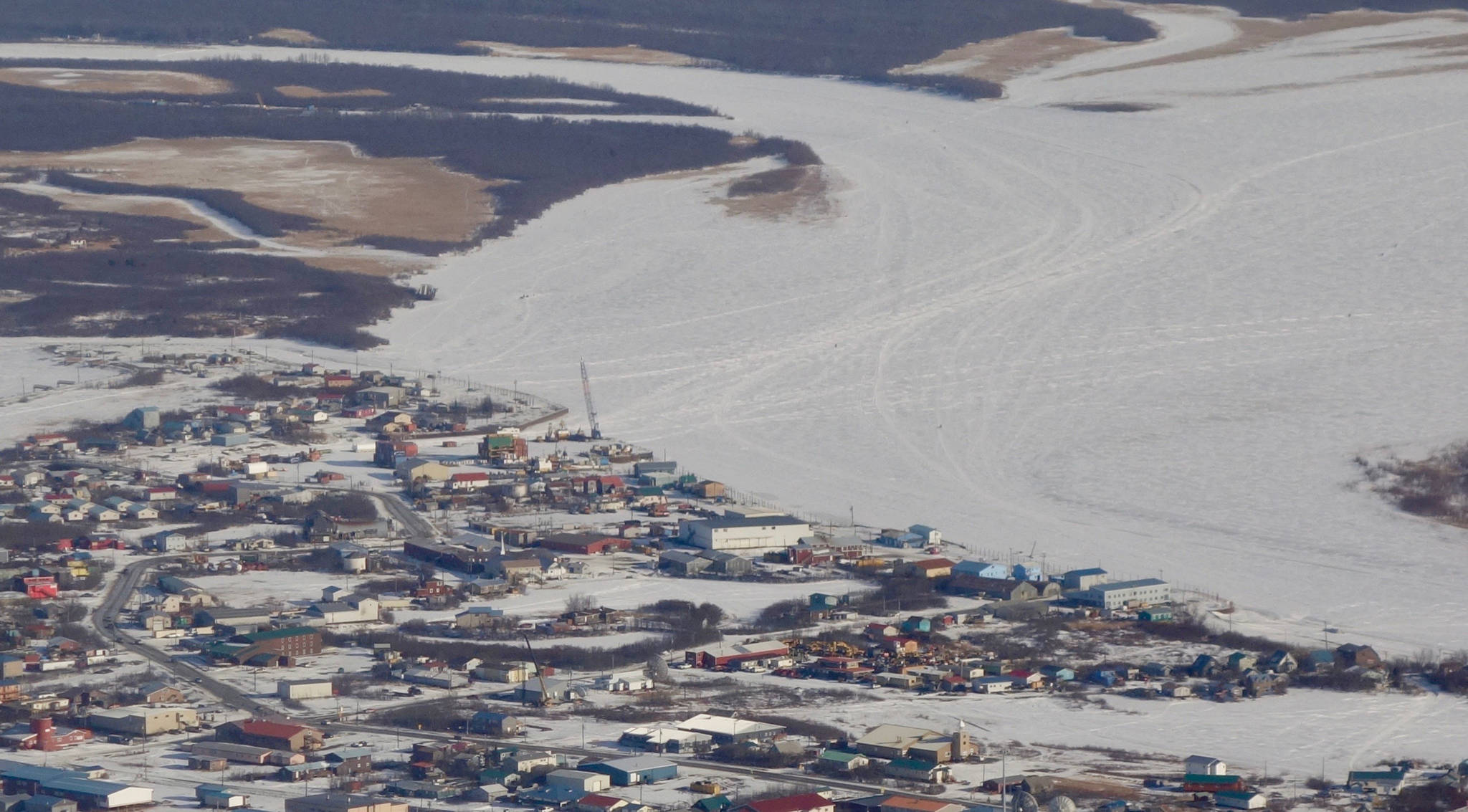
Following the warmest March Alaskans have ever felt, forecasters are predicting a mellow transition from ice to water for most big rivers in the state.
Things don’t always go that way during spring breakup, when chunks of river ice freed from the cold grip of winter can lock up in river bends and back up water into communities.
Already this spring, weak river ice fractured and dissolved early enough to set new records in the Nenana and Kuskokwim ice classics. In both contests, people bet on when a tripod standing on nearby river ice will fall as the ice disintegrates.
“It’s remarkable that it’s April 23 and breakup has already started in many places,” said Crane Johnson of the National Weather Service’s Alaska-Pacific River Forecast Center. He and University of Alaska Fairbanks climate scientist Rick Thoman gave a recent presentation on what Alaskans can expect for river breakup in 2019.
[Finding purpose in exploring the Last Frontier]
Residents of Alaska villages like Eagle on the Yukon River and Bethel on the Kuskokwim hold their breaths every year, wondering if spring ice jams will force cold river water into their homes. This year, at least on Alaska’s two largest rivers, there is a lower-than-normal threat of spring flooding, Johnson said.
He also said that due to cooler conditions and more snowfall along the Koyukuk River, in Northwest Alaska and on Alaska’s North Slope, there is a normal chance of spring flooding there.
In the recent past, many of Alaska’s major rivers would be blue-white and solid in late April. After a historic warm March and early April this year, many Alaska rivers have ice-free segments.
In one strange example, Johnson showed that the Kuskokwim River in mid-April had open water both in Bethel and hundreds of miles upriver, in Nikolai. Ice on big Alaska rivers has in the past broken up like a row of falling dominoes, with ice first melting upstream and then progressing downriver in a predictable fashion.
[Yukon’s Innoko is a long river short on people]
River ice is weak throughout the state, Johnson said, and people choosing to walk, snowmachine, drive or ski on it should take care.
“This year, you can’t travel to places you normally could during the last week of April,” he said.
Spring air temperatures are the most important factor in river breakup (just ahead of snowpack-depth and thickness of river ice). Temperatures have been been very warm over most of Alaska, encouraging what researchers call a “thermal” breakup, during which ice rots and rivers flow on to the sea with little drama.
“Dynamic” breakups happen when spring temperatures stay cool until they suddenly warm, flushing snowmelt onto river ice. This pulse can shove chunks of ice together to create a dam that pinches a river’s flow, causing water to ooze over riverbanks. In late May, 2013, an ice dam at Bishop Rock backed Yukon River water into Galena and flooded every building in town.
With many rivers in late April 2019 already starting to mush out, the scientists at the river forecast center predict low flood potential for almost every village in Alaska. They will fine-tune their predictions in early May, when their “River Watch” team of pilots and meteorologists fly small planes above Alaska rivers and eyeball known ice-dam spots.
River transitions from solid to liquid are a big deal in a state that has fewer miles of paved road than Vermont. A longer open-water season means villagers can fire their outboard motors later in the fall and earlier in spring, but Thoman pointed out that a spring like this one might both give and take away boat travel.
“Once snowmelt gets going, you think that’s it,” he said. “But then it backs up and goes from water to snow-covered ice again. The ice is too thin to snowmachine on and you can’t boat. Is this a feature of our new climate?”
• Since the late 1970s, the University of Alaska Fairbanks’ Geophysical Institute has provided this column free in cooperation with the UAF research community. Ned Rozell (ned.rozell@alaska.edu) is a science writer for the Geophysical Institute.

