Correction: An earlier version of this article incorrectly referred to the Snettisham hydroelectric project as a dam. The project is a lake tap, not a dam. The article has been updated to reflect the change. The Empire regrets the error.
Juneau’s wet weather set multiple records over the weekend and caused disruptions to the city’s power. The City and Borough of Juneau on Monday had its avalanche advisory at considerable.
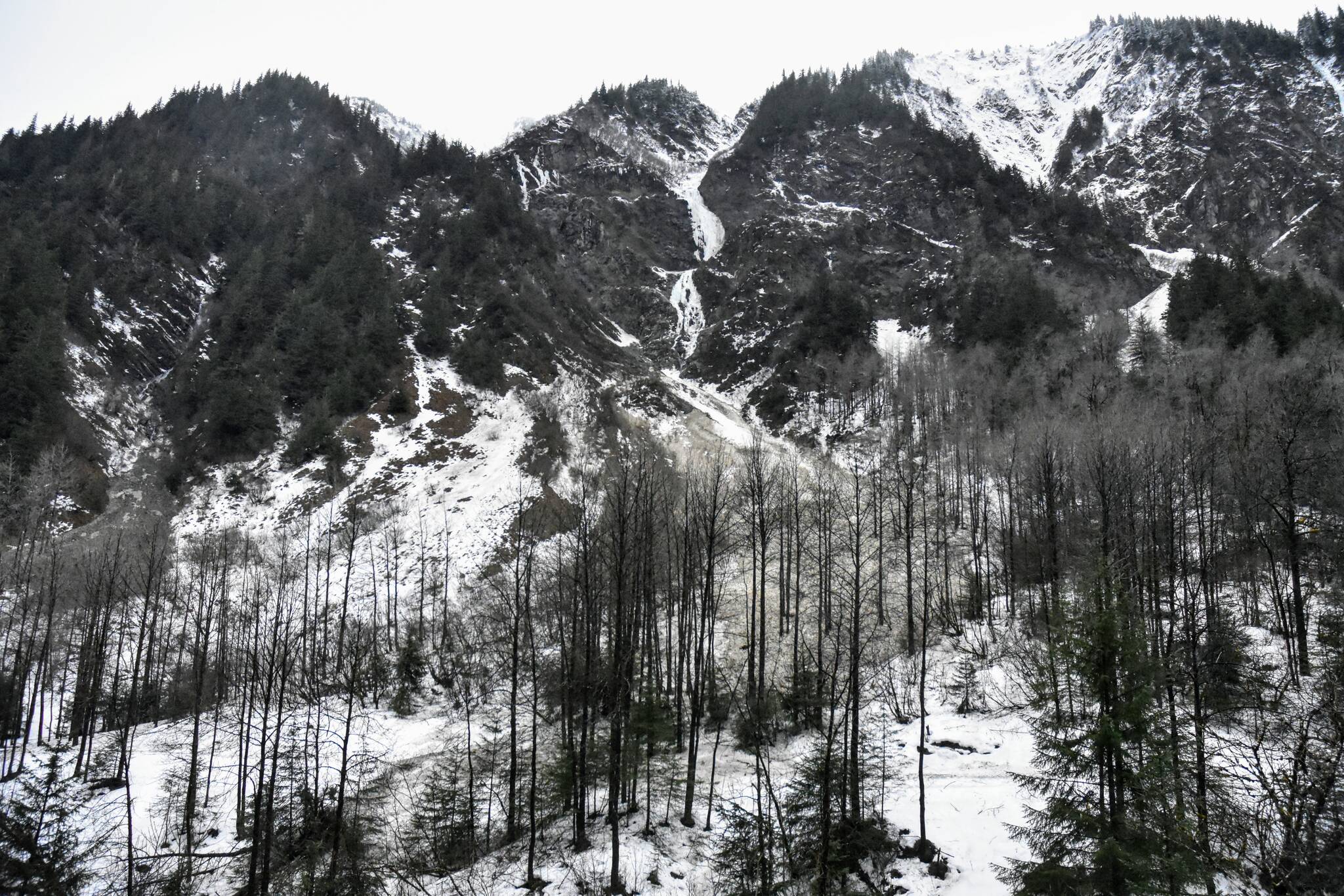
The Juneau area recorded several avalanches over the weekend but none of them affected any infrastructure, according to CBJ Emergency Program Manager Tom Mattice. With lighter rain, avalanche conditions are improving, Mattice said, but there’s still a concern.
“There’s rain down low and snow up high,” Mattice said. “(Avalanche) conditions are considerable today, but not high.”
An avalanche on Basin Road in downtown Juneau crossed the Gold Creek Flume Trail but that is typical of slides in that area, Mattice said. Avalanche conditions change daily and residents should take note of the city’s avalanche advisories, available at juneau.org/emergency/current-advisory.
“On top of the currently saturated snowpack this will maintain CONSIDERABLE avalanche danger today,” CBJ’s Urban Avalanche Advisory said Monday. “Natural avalanches are possible and human triggered avalanches are likely.”
Mattice said residents can also check the Coastal Alaska Avalanche Center for areawide notices of slides.
According to National Weather Service Juneau forecaster Kimberly Vaughan, rainfall at the Juneau International Airport was the third wettest on record Friday, Jan. 21, with a total of 3.48 inches in a 24-hour period. The wettest on record at the airport was set on Dec. 1, 2020, with 4.98 inches of rain.
Rainfall on Saturday, Jan. 22, broke the daily record at the NWS station in the Mendenhall Valley with 2.2 inches, Vaughan said. The previous record was set in 2014 with 1.4 inches in 2014.
But heavy weather appears to have dissipated and Vaughan said there are currently no weather watches, warnings or advisories in effect.
[First arguments heard in Redistricting Board lawsuits]
“We’re actually looking for more of our typical garden-variety Southeast Alaska rainfall,” Vaughan said. “There’s some potential for some snow accumulation as well — Tuesday night into Wednesday morning — but no significant amounts are expected.”
Heavy snowfall near the Snettisham hydro-electric dam caused a citywide outage early Saturday morning, said Debbie Driscoll, vice president and director of consumer affairs at Alaska Electric Light and Power, but power was restored quickly when the utility switched to its diesel-powered backup generators.
“There was significant snowpack,” Driscoll said of the Snettisham hydroelectric project. “That area gets a tremendous amount of precipitation.”
The company was able to bring other hydro-generators online, Driscoll said, and began running on a combination of hydroelectric and diesel generation for several hours before restoring the Snettisham facility and returning to full hydroelectric power.
Driscoll said how much the switch to diesel would affect customers’ utility bills would have to be determined when the company does its cost-adjustment projections later in the fiscal quarter. There are many factors that affect rate-payers bills, Driscoll said, including how much energy the company sells to cruise ships and the Hecla Greens Creek Mine.
“Customers may not see any difference,” Driscoll said. “There are lots of things that go into (the cost). But the amount of time we were on backup generation was for less than 24 hours.”
Driscoll said customers should check AEL&P’s social media for updates on outages.
• Contact reporter Peter Segall at psegall@juneauempire.com. Follow him on Twitter at @SegallJnuEmpire.

