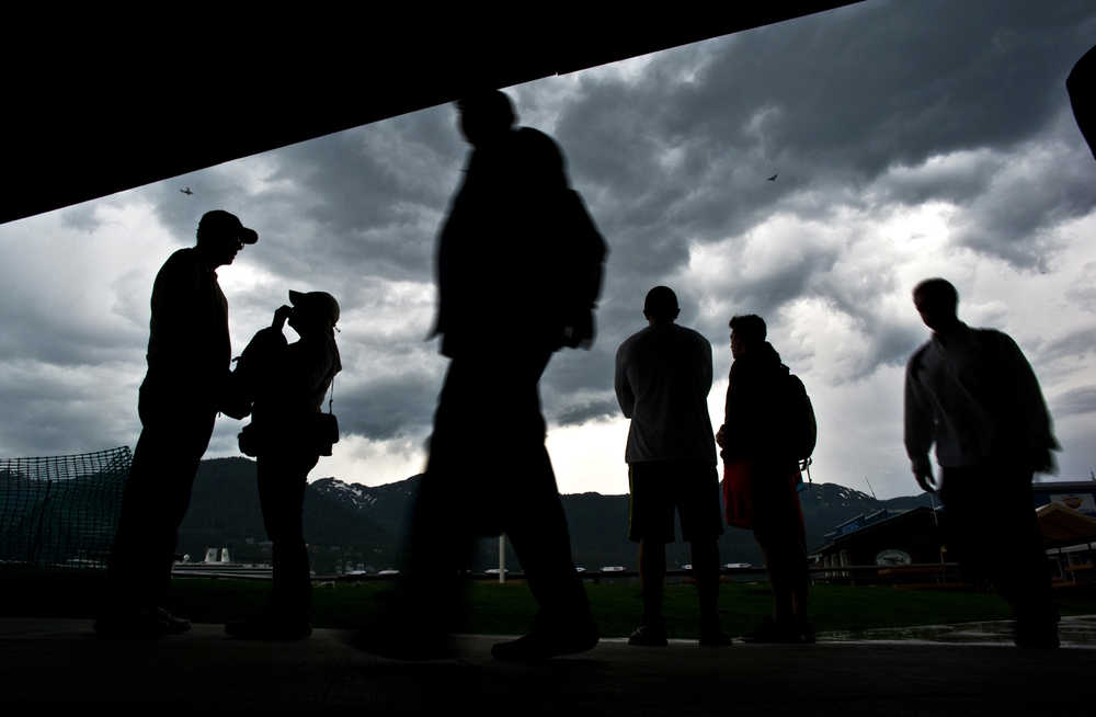
The oddly muggy air and dark clouds on Wednesday night foreshadowed a weather phenomena rare to Juneau: thunderstorms.
Thunderstorms only happen about once every other year in Juneau. The reason why, in two key words, is “icefield” and “latitude.”
The massive Juneau Icefield — the fifth largest in the western hemisphere that separates the capital city from British Columbia — typically keeps thunder from our doorstep, as it did Wednesday, according to National Weather Service meteorologist Rick Fritsch.
“In this particular pattern that we’re set up for right now, about an hour before the storm got to us, coming from British Columbia, it was producing thunder and lightning,” Fritsch said. “You take away the heat source — the warm earth surface — as the clouds move over the icefield. You take away the heat source, you take away the fuel for the thunderstorm.”
After passing over the icefield, the cumulonimbus, or thunderclouds, morphed back into their tamer, familiar cousins — the raincloud. As the clouds hit Juneau at about 9 p.m. Wednesday, the “thunder part of that storm collapsed and it just became a garden-variety rain shower,” Fritsch said.
This is a common theme for would-be summer thunderstorms in Juneau. According to Fritsch, Juneau simply doesn’t get hot enough to create the upward air drafts that build cumulonimbus clouds. When Juneau does get hot enough, it typically benefits from dry air currents pushed into the area from British Columbia, which pass over the icefield.
Another factor making thunderstorms rare in Juneau is latitude.
“Physically, our atmosphere at 58 degrees latitude is thinner than that of lower latitudes,” Fritsch said. “Thunderstorms at or near the tropics can be near 50,000 feet above the surface of the earth. … Up here at 58 North latitude, a really big thunderstorm is something that goes up to maybe 15,000, 20,000 feet. There just isn’t enough atmosphere to support a thunderstorm.”
Southeast saw an “extraordinary” number of thunderstorms three summers ago, Fritch said, an occurrence brought together by several natural factors, including wildfires in the Yukon. That storm front came from the North, bypassing the Juneau Icefield.
[A crack, a shriek, a bolt of lightning: Juneau sees rare thunderstorm]
“We had a very aggressive line of thunderstorms, almost like a squall front that came down from the Yukon across this skinny portion of British Columbia,” Fritsch said. “It was an arc of thunderstorms that was really the width of the panhandle and it just came barrelling down like a ton of bricks over the northern panhandle. We had special marine warnings for thunderstorms, we had lightning that was captured on photograph, tree damage along the Haines Highway. It was a pretty dicey day.”
Though thunderstorms are rare in Juneau, they are much more common on Southeast Alaska’s outer coast.
“In the winter, the opposite of the offshore (winds) are the onshore. … When the land is cooler than the water, the water … represents the heat source instead of the land. So these cool, moist systems coming off the Gulf of Alaska, warm relative to the land, they blossom into thunderstorms and we see a lot of thunderstorm activity from Icy Bay all the way down to Cape Fairweather. … That’s late autumn into early winter.”
For now, Juneau’s thunderstorm forecast is clear.
“We don’t have any in the forecast right now, and the pattern is shifting so that it’s less likely that we get some,” NWS forecaster Brian Bezenek said. “Through the summer we’re looking at above normal temperatures, but as we move out of May and June it will get more moist.”
• Contact Outdoors reporter Kevin Gullufsen at 523-2228 or kevin.gullufsen@juneauempire.com.
Related stories:

