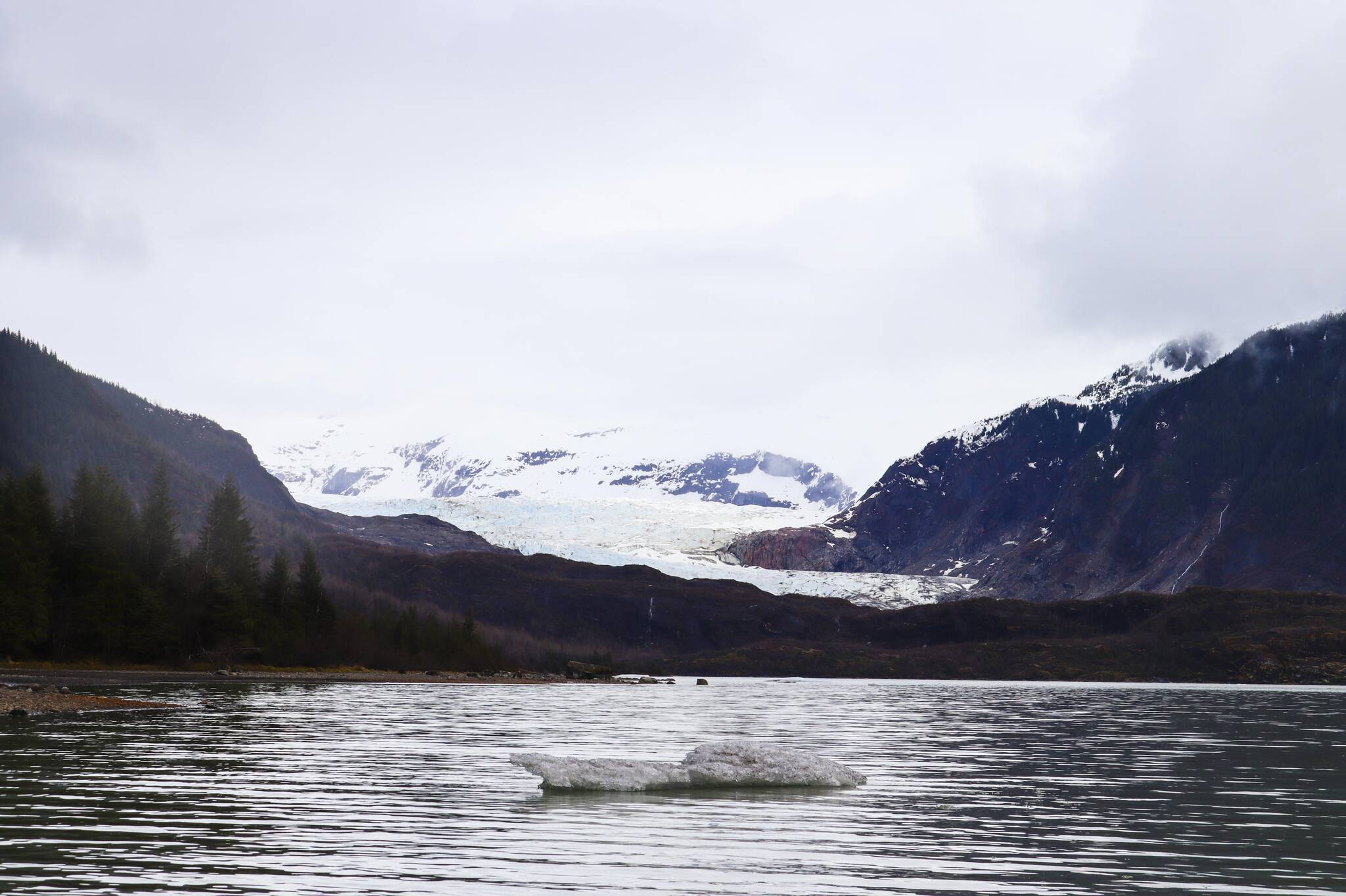
Last May, I wrote a My Turn that pointed out the risks of operating boats on Mendenhall Lake. I’m told by one of the United States Forest Service employees that 400 people responded with the vast majority objecting to boats on the lake. Yet, the USFS decided to ignore the comments of hundreds of people and my facts about the risks of any boat sinking in the deeper parts of the lake. Sinking to the deeper parts of the lake bottom would result with that boat being on the lake bottom “forever.” Instead, the USFS supplemental environmental impact statement makes the incredible claim that the boats would have a minor impact on the lake.
It is critical for the USFS to understand the fact that any vessel that sinks in deepest part of lake would require commercial saturation diving to salvage it. Scuba diving is limited to 20 minutes at 130 feet. A typical scuba salvage is done by affixing air bags to the wreck, filling them with compressed air and then following the boat up to the surface, slowly, to allow the divers to release air from the bags which expand in size as the pressure is less at shallower water. So, remember each diver is limited to 20 minutes. When you go deeper than 130 feet, to the 200-foot level, the diver has maybe one minute in pitch black visibility making salvage with scuba at that depth unsafe and impossible. Those deeper depths require “saturation diving” which requires extensive training, saturation breathing, special equipment and a whole host of safety requirements. Plus, a diver’s chamber to deal with decompression must be readily available on the surface to prevent “the bends” and death. Typically this involves a deck crane barge and tug. Of course it is impossible to get a deck crane barge and tug onto Mendenhall Lake.
My concerns from last May have not changed. There is still no navigation chart. Yes, the boats would have to be inspected by USCG as “small passenger vessels” per Title 46 Sub-chapter T; however, even the most diligent USCG or accredited marine surveyor inspection of these boats cannot eliminate “human error.” The lake has not, as yet, been designated “navigable waters”, by the USCG. Hopefully they won’t designate the lake as navigable. However in my over 50 year experience in the USCG and as an accredited marine surveyor, boats can readily sink in navigable waters for a variety of reasons: lack of maintenance, through-hull issues caused by corrosion and/or wear and tear, and/or design. And, finally there is always the chance of “human error.” I have worked on many sunken vessels including a local whale watching “T boat” with 28 passengers that recently sank after striking the reef at Aaron Island, a 46-foot motor sailing yacht that recently ran aground at the highest tide of the month (100 miles south of Juneau, and required a tug and crane barge to remove the wreck), and the Costa Concordia cruise ship off the west coast of Italy, plus many others.
Quarter-inch-thick aluminum boats are vulnerable if they are run aground. Striking rocks at any speed can break welds, dent and crack hulls thus causing substantial risk of sinking including loss of life and risk of pollution. Bilge pumps may not keep up with the flooding. As mentioned, if the boat sinks to the deepest part of the lake (which is under the proposed route), it will be there forever leeching dangerous chemicals from a bottom hull that is full of batteries. Or, even outboard motor boats can pollute from fuel leaking out of the tanks and oil leaking out of the motors. Nowhere in either the EIS or the supplement did I see:
1. An operations plan for the boats.
2. A pollution mitigation plan, including storage of cleanup materials, oil absorbent pads and booms. By the way, a boom away from the shore could not be anchored in place because of the severe depths.
3. A search and rescue plan.
4. A salvage plan. Scuba operations would be limited to 130 feet. As mentioned, deeper depths require “saturation diving” and very heavy support equipment (deck crane, tug, and dive chamber). Perhaps there is no salvage plan because it would be impossible to salvage a sunken boat at 200 feet?
The park rangers already tell the tourists, “no you may not pet the bears.” Why can’t they explain that Alaska is truly the “Land of Extremes.” This means we cannot “boat you over to the glacier” because it is too hazardous and has severe risk of pollution in a pristine bear and fish habitat.
The USFS MGRA plan is weighted heavily in favor of extreme tourism and seems to follow the premise: “If you build it, they will come.” Why spend all this money to expand the MGRA if in 30 years the glacier recedes behind a mountain? Will the tourists really come if there is no visible glacier and there are no fish and no bears because of pollution that has made the Mendenhall River the “victim” in this plan? Deadline for commenting on the Supplemental EIS MGRA Plan is Feb. 21, 2023. So please get your responses in on time. There are several ways to comment:
— Electronically at: https://cara.fs2c.usda.gov/Public//CommentInput?Project=53780 (preferred)
— Fax to 907-586-8808
— Mail or hand deliver to 8510 Mendenhall Loop Road, Juneau, Alaska, 99801. Hand delivery can only be accepted during weekday business hours, between 8 a.m. and 4:30 p.m., excluding holidays.
• Jim Sepel is an accredited marine surveyor, retired USCG commander and since 1982 a proud Juneau resident. Columns, My Turns and Letters to the Editor represent the view of the author, not the view of the Juneau Empire. Have something to say? Here’s how to submit a My Turn or letter.

