Our floatplane cleared the notch in the snowy ridge then turned slightly north as the mountain dropped below us. The pilot gave Mark, Matt and me a view of the river system we’d be surveying, and I took a few pictures with my cell phone to get my bearings.
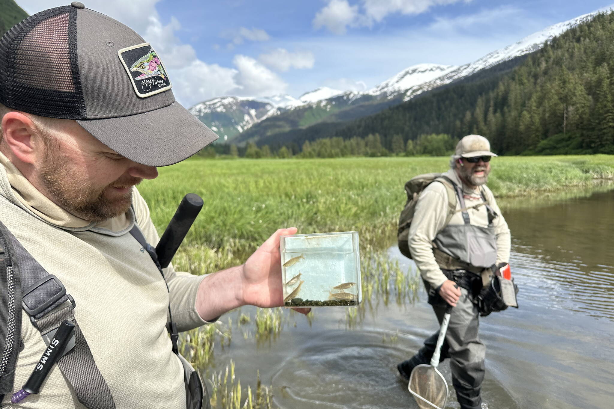
I was invited on the river survey with Trout Unlimited to add what we found in this unnamed creek to the Anadromous Waters Catalog — a map of rivers complete with locations and evidence of anadromous fish activity.
The stream ran essentially parallel to a named river with a documented run of coho, pinks and chum, but this small tributary was an afterthought.
Mark had scouted the location and Matt would be his lead support. I was there in a volunteer capacity so my main goals were to not get injured, not fall behind and be helpful when needed.
We started along the beach exposed by low tide, then waded across the mouth of the main river, then up to the confluence with our target flow.
Snowmelt from 2,000 feet up cascaded down rocky chutes and supplied the flow. Tiny fry shot like torpedoes effortlessly across the thin water and disappeared into the protected edges covered by stream-side plant growth or cut banks. We walked upriver to the end of tiny tributaries that looked like the stagnant water in the small, shallow ditch by your driveway. There were fish there and in the ponds too, ponds that looked like you’d want to boil the water even after you filtered it.
A rise in the middle of the valley, about two miles from the salt water, curved and met up with the western wall, stealing all water flowing from further up the drainage. It wasn’t pronounced, but just enough to make this creek an independent water system.
The beaver dam that marked the end of the stream network seemed impenetrable. The outflow was knee-deep, but the dam was proud, sturdy and imposing. Yet there were fish in the pond too — cutthroat, char and coho fry. How they got there and how they live in such a stagnant pond is a matter of science and wonder. But they were there. This stream, measuring maybe two miles long, had its own run of cohos throughout.
Read about the history of Southeast Alaska and you’ll be hard-pressed to find a river system not used or exploited. In some places fixed fish traps that spanned nearly the entire river mouth at low tide essentially wiped out the runs. The company would move on to the next because cleaning out a few rivers or sacrificing some habitat was but a tiny scratch in the name of progress and revenue. The land was vast, the rivers limitless, the runs unceasing.
This is not to say that nothing should have ever been mined, no timber should have ever been cut, no cannery ever built and none should be in the future either. Resource use is as integral a part of Alaska’s economy now as it was then, but methods and development have changed. We also have over a century’s worth of experience, technology and information to be much more purposeful and thoughtful in our methods.
This should be obvious to most Alaskans who get to see ecology at close range. We don’t need a master’s degree in environmental science from social media to know the complexity of resource management and user groups.
We know we can’t afford to sacrifice rivers in a time of declining runs and with more information and input available, we can prove we have learned something over the last 100 years.
• Jeff Lund is a freelance writer based in Ketchikan. His book, “A Miserable Paradise: Life in Southeast Alaska,” is available in local bookstores and at Amazon.com. “I Went to the Woods” appears twice per month in the Sports and Outdoors section of the Juneau Empire.

